
| Distance / Altitude | Location | Report Date / Time | Live Weather | Wind | Gusts | Temp. | Visibility | Cloud |
|---|---|---|---|---|---|---|---|---|
| 36 km WSW / 60 m | Morretes (Brazil) | 2024-04-20 00:00 local (2024/04/20 03:00 GMT) | no report | calm (0 km/h at 180) | 17°C | - | - | |
| 61 km N / 668 m | Barra DO Turvo (Brazil) | 2024-04-20 00:00 local (2024/04/20 03:00 GMT) | no report | calm (0 km/h at 130) | 10°C | - | - | |
| 62 km WSW / 908 m | Piraquara wx (Brazil) | 2024-04-19 23:33 local (2024/04/20 02:33 GMT) | dry | - (- km/h at ) | 18°C | - | - - 0 | |
| 62 km WSW / 910 m | Piraquara (Brazil) | 2024-04-19 23:37 local (2024/04/20 02:37 GMT) | dry | - (- km/h at ) | 18°C | - | - - 0 | |
| 65 km S / 4 m | Itapoa (Brazil) | 2024-04-20 00:00 local (2024/04/20 03:00 GMT) | no report | calm (0 km/h at 270) | 19°C | - | - |
| Contours: | Roads & Rivers: | Select a
tide station / surf break / city |
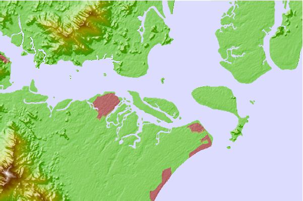
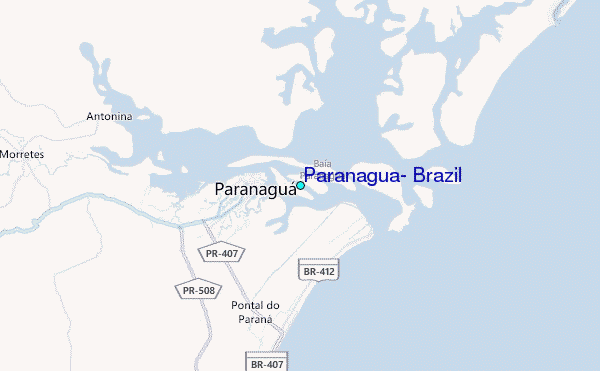
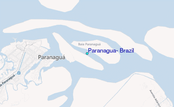
Use this relief map to navigate to tide stations, surf breaks and cities that are in the area of Paranagua, Brazil.
Other Nearby Locations' tide tables and tide charts to Paranagua, Brazil:
click location name for more details
 Surf breaks close to Paranagua, Brazil:
|
||
|---|---|---|
| Closest surf break | Pontal do Sul | 7 mi |
| Second closest surf break | Paralelas | 9 mi |
| Third closest surf break | Praia Grande | 10 mi |
| Fourth closest surf break | Praia de Fora | 10 mi |
| Fifth closest surf break | Ilhas das Palmas | 11 mi |

 Nearest
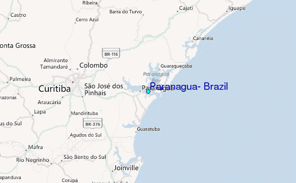