
| Distance / Altitude | Location | Report Date / Time | Live Weather | Wind | Gusts | Temp. | Visibility | Cloud |
|---|---|---|---|---|---|---|---|---|
| 1 km WNW / 6 m | Paulatuk- Nwt (Canada) | 2026-06-08 21:00 local (2026/06/09 03:00 GMT) | no report | wind obs. (11 kph from 260 degs) was rejected (- km/h at -) | 4°C | - | - | |
| 70 km ESE / 616 m | Tuktut Nogait Airport (N.w. Territories) | 2026-06-08 20:00 local (2026/06/09 02:00 GMT) | - | light winds from the S (17 km/h at 170) | 7°C | 0.0 | ||
| 70 km ESE / 552 m | Tuktut Nogait- Nwt (Canada) | 2026-06-08 21:00 local (2026/06/09 03:00 GMT) | no report | wind obs. (11 kph from 260 degs) was rejected (- km/h at -) | -1°C | - | - - - | |
| 273 km S / 259 m | ColvilleLake-Nwt (Canada) | 2026-06-08 21:00 local (2026/06/09 03:00 GMT) | - | light winds from the SW (6 km/h at 220) | — | - | - no observation - | |
| 274 km S / 259 m | Colville Lake Airport (Canada) | 2026-06-08 20:00 local (2026/06/09 02:00 GMT) | Clear | light winds from the SSW.(Wind varies from 170 to 250 degs) (7 km/h at 210) | 22°C | 14 | ||
| 286 km NE / 30 m | HolmanCs-Nwt (Canada) | 2026-06-08 21:00 local (2026/06/09 03:00 GMT) | no report | wind obs. (11 kph from 310 degs) was rejected (- km/h at -) | 4°C | - | - no observation - | |
| 298 km N / 88 m | Sachs Harbour Climate- Nwt (Canada) | 2026-06-08 21:00 local (2026/06/09 03:00 GMT) | no report | - (- km/h at -) | 0°C | - | - | |
| 351 km WSW / 155 m | Tuktoyaktuk Airport (N.w. Territories) | 2026-06-08 20:00 local (2026/06/09 02:00 GMT) | Shower - in the vicinity | light winds from the NNE (17 km/h at 20) | 1°C | 24 | broken overcast | |
| 352 km WSW / 6 m | Tuktoyaktuk-Nwt (Canada) | 2026-06-08 21:00 local (2026/06/09 03:00 GMT) | no report | light winds from the NNE (7 km/h at 20) | 1°C | - | - no observation - | |
| 352 km SSW / 62 m | Little Chicago- Nwt (Canada) | 2026-06-08 21:00 local (2026/06/09 03:00 GMT) | no report | calm (4 km/h at 90) | 10°C | - | - - - |
| Contours: | Roads & Rivers: | Select a
tide station / surf break / city |
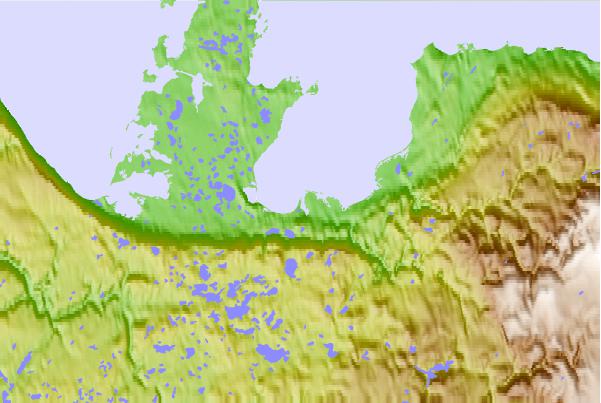
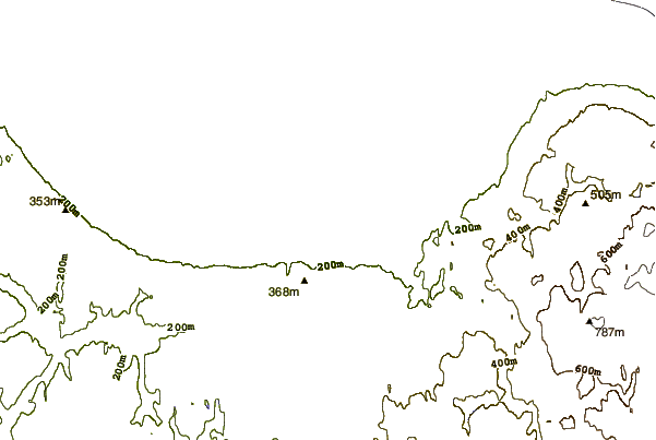
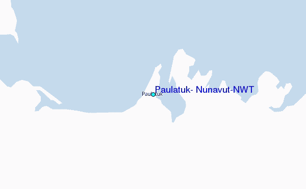
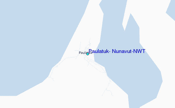
Use this relief map to navigate to tide stations, surf breaks and cities that are in the area of Paulatuk, Nunavut/NWT.
Other Nearby Locations' tide tables and tide charts to Paulatuk, Nunavut/NWT:
click location name for more details
 Surf breaks close to Paulatuk, Nunavut/NWT:
|
||
|---|---|---|
| Closest surf break | Graveyards | 819 mi |
| Second closest surf break | Ocean Cape | 820 mi |
| Third closest surf break | Cannon Beach | 821 mi |
| Fourth closest surf break | Bird Point (Tidal Bore) | 982 mi |
| Fifth closest surf break | Tow Hill Beach | 1083 mi |


 Nearest
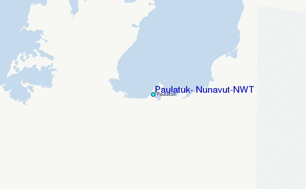