
| Distance / Altitude | Location | Report Date / Time | Live Weather | Wind | Gusts | Temp. | Visibility | Cloud |
|---|---|---|---|---|---|---|---|---|
| 4 km W / 26 m | West Peabody wx (United States) | 2024-04-20 02:33 local (2024/04/20 06:33 GMT) | dry | calm (2 km/h at 257) | 9°C | - | - - 0 | |
| 6 km N / 218 m | Beverly Airport (Massachusetts) | 2024-04-20 02:14 local (2024/04/20 06:14 GMT) | Dry and cloudy | light winds from the S (15 km/h at 180) | 8°C | 16 | broken overcast | |
| 6 km S / 14 m | East Lynn wx (United States) | 2024-04-20 02:14 local (2024/04/20 06:14 GMT) | dry | calm (3 km/h at 86) | 9°C | - | - - 0 | |
| 7 km SSE / 25 m | Swampscott (Massachusetts) | 2024-04-20 02:44 local (2024/04/20 06:44 GMT) | dry | light winds from the SSW (8 km/h at 192) | 9°C | - | - - 0 | |
| 8 km ENE / 15 m | Beverly (Massachusetts) | 2024-04-20 03:18 local (2024/04/20 07:18 GMT) | dry | calm (5 km/h at 158) | 9°C | - | - - 0 |
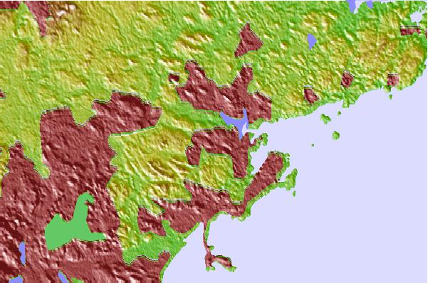
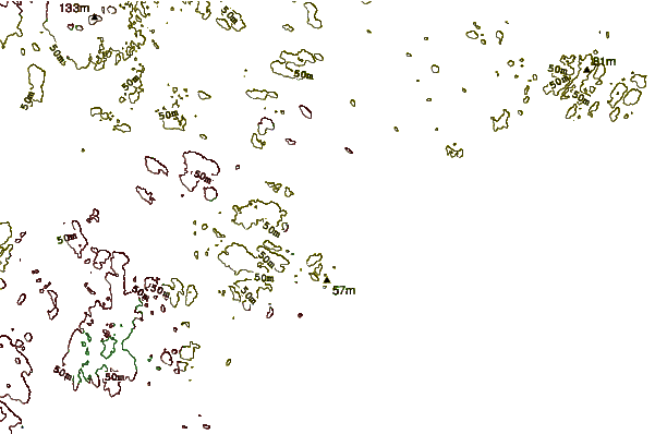
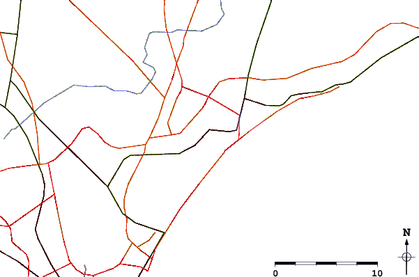
| Contours: | Roads & Rivers: | Select a
tide station / surf break / city |
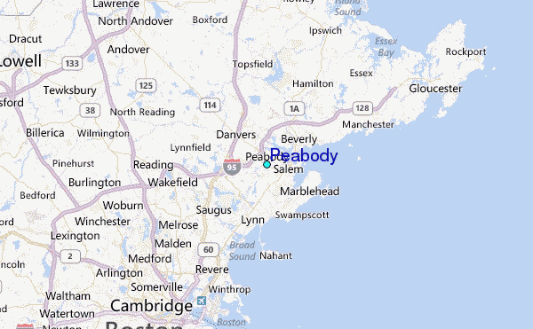
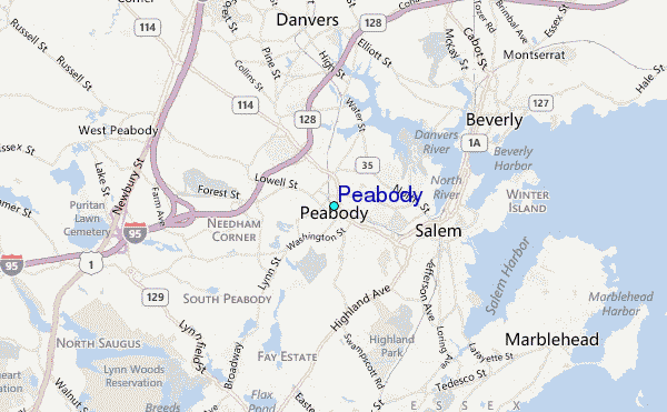
Use this relief map to navigate to tide stations, surf breaks and cities that are in the area of Peabody.
Other Nearby Locations' tide tables and tide charts to Peabody:
click location name for more details
 Surf breaks close to Peabody:
|
||
|---|---|---|
| Closest surf break | Prestons | 4 mi |
| Second closest surf break | Lynne Beach | 4 mi |
| Third closest surf break | Deveraux Beach | 6 mi |
| Fourth closest surf break | Nahant Beach | 8 mi |
| Fifth closest surf break | Winthrop Jetty | 12 mi |

 Nearest
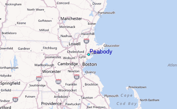