
| Distance / Altitude | Location | Report Date / Time | Live Weather | Wind | Gusts | Temp. | Visibility | Cloud |
|---|---|---|---|---|---|---|---|---|
| 54 km NE / 952 m | BogorCiteko (Indonesia) | 2024-04-25 10:00 local (2024/04/25 03:00 GMT) | - | calm (4 km/h at 320) | 24°C | 28 km | - mostly cloudy - | |
| 70 km N / 52 m | Dukuh Satu wx (Indonesia) | 2024-04-25 10:09 local (2024/04/25 03:09 GMT) | - | - (- km/h at ) | 32°C | - | - - 0 | |
| 84 km NNE / 29 m | Kebonbesar wx (Indonesia) | 2024-04-25 10:41 local (2024/04/25 03:41 GMT) | - | calm (0 km/h at 0) | 33°C | - | - - 0 | |
| 84 km N / 46 m | CurugBudiarto (Indonesia) | 2024-04-25 10:00 local (2024/04/25 03:00 GMT) | - | light winds from the SE (6 km/h at 140) | 29°C | 26 km | - mostly cloudy - | |
| 85 km NNE / 15 m | Pisangan Timur wx (Indonesia) | 2024-04-25 11:03 local (2024/04/25 04:03 GMT) | dry | calm (3 km/h at ) | 34°C | - | - - 0 |
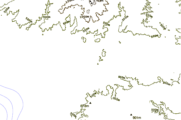
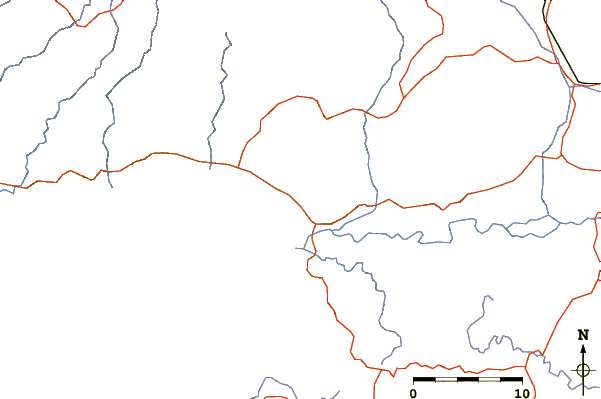
| Contours: | Roads & Rivers: | Select a
tide station / surf break / city |
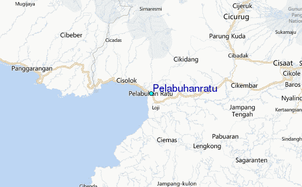
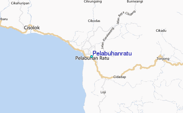
Use this relief map to navigate to tide stations, surf breaks and cities that are in the area of Pelabuhanratu.
Other Nearby Locations' tide tables and tide charts to Pelabuhanratu:
click location name for more details
 Surf breaks close to Pelabuhanratu:
|
||
|---|---|---|
| Closest surf break | Samudra | 1 mi |
| Second closest surf break | Loji | 3 mi |
| Third closest surf break | Cimaja | 4 mi |
| Fourth closest surf break | Indicators point | 5 mi |
| Fifth closest surf break | Karang Haji - Ocean Queen Hotel | 7 mi |

 Nearest
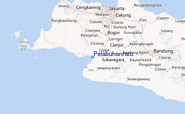