
| Distance / Altitude | Location | Report Date / Time | Live Weather | Wind | Gusts | Temp. | Visibility | Cloud |
|---|---|---|---|---|---|---|---|---|
| 233 km SSE / 216 m | Resolute Airport (N.w. Territories) | 2024-04-25 02:00 local (2024/04/25 06:00 GMT) | Dry and cloudy | light winds from the NW (17 km/h at 310) | -16°C | 40 | overcast | |
| 233 km SSE / 30 m | Resolute CS Airport (Nunavut) | 2024-04-25 02:00 local (2024/04/25 06:00 GMT) | - | light winds from the WNW (13 km/h at 290) | -19°C | 0.0 | ||
| 234 km SSE / 30 m | Resolute (Canada) | 2024-04-25 02:00 local (2024/04/25 06:00 GMT) | no report | light winds from the NW (11 km/h at 320) | -19°C | - | - | |
| 283 km SW / 12 m | Rae Point (Nunavut) | 2024-04-25 02:00 local (2024/04/25 06:00 GMT) | - | fresh winds from the NNW (35 km/h at 330) | -21°C | 0.0 | ||
| 364 km E / 44 m | Grise Fiord Climate- NU (Canada) | 2024-04-25 02:00 local (2024/04/25 06:00 GMT) | no report | calm (0 km/h at 340) | -13°C | - | - |

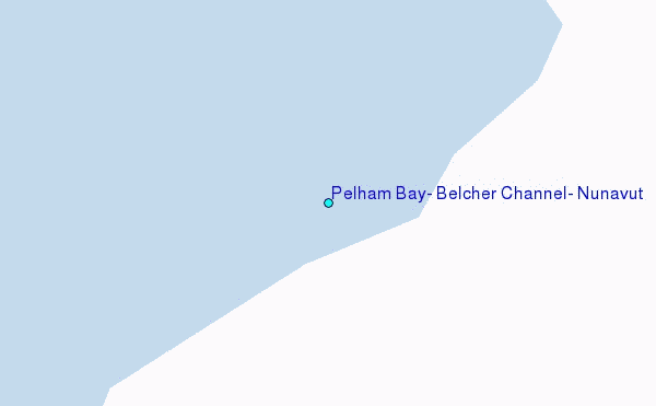
Choose Pelham Bay, Belcher Channel, Nunavut Location Map Zoom:
| Contours: | Roads & Rivers: | Select a
tide station / surf break / city |
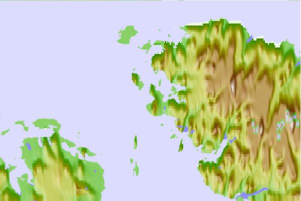
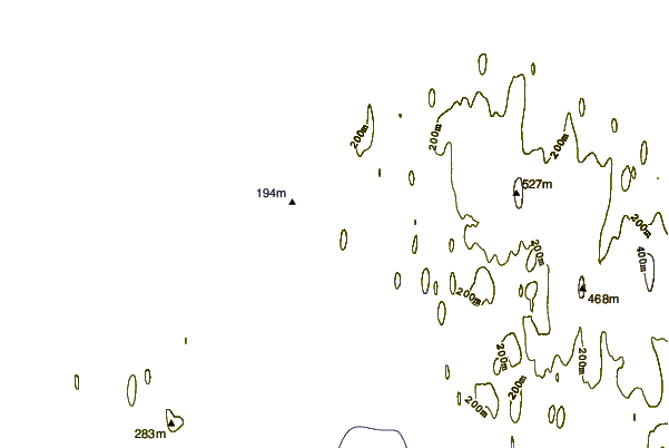
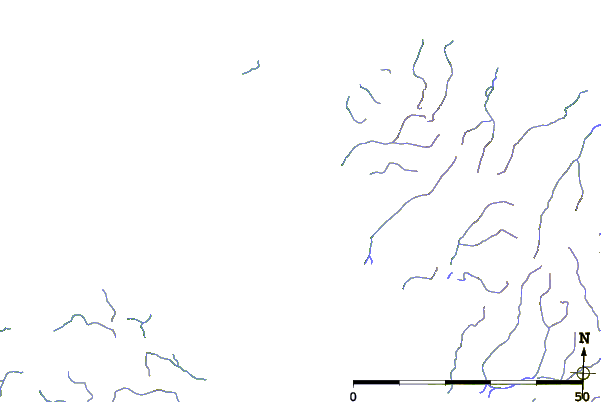
Use this relief map to navigate to tide stations, surf breaks and cities that are in the area of Pelham Bay, Belcher Channel, Nunavut.
Other Nearby Locations' tide tables and tide charts to Pelham Bay, Belcher Channel, Nunavut:
click location name for more details
 Surf breaks close to Pelham Bay, Belcher Channel, Nunavut:
|
||
|---|---|---|
| Closest surf break | Graveyards | 1556 mi |
| Second closest surf break | Ocean Cape | 1557 mi |
| Third closest surf break | Cannon Beach | 1559 mi |
| Fourth closest surf break | Bird Point (Tidal Bore) | 1662 mi |
| Fifth closest surf break | Eyvik | 1743 mi |

 Nearest
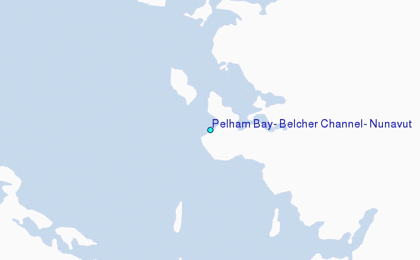