
| Distance / Altitude | Location | Report Date / Time | Live Weather | Wind | Gusts | Temp. | Visibility | Cloud |
|---|---|---|---|---|---|---|---|---|
| 98 km SSW / 3 m | SHIP829 (Marine) | 2024-04-20 04:00 local (2024/04/20 08:00 GMT) | - (- km/h at -) | 23°C | - | |||
| 98 km SSW / 15 m | SHIP2639 (Marine) | 2024-04-20 04:00 local (2024/04/20 08:00 GMT) | - (- km/h at -) | — | - km | |||
| 99 km SSW / 3 m | SHIP2862 (Marine) | 2024-04-20 06:00 local (2024/04/20 10:00 GMT) | - (- km/h at -) | 23°C | - | |||
| 99 km SSW / 15 m | SHIP3121 (Marine) | 2024-04-20 06:00 local (2024/04/20 10:00 GMT) | - (- km/h at -) | — | - km | |||
| 102 km S / 15 m | SHIP3159 (Marine) | 2024-04-20 06:00 local (2024/04/20 10:00 GMT) | - (- km/h at -) | — | - km |
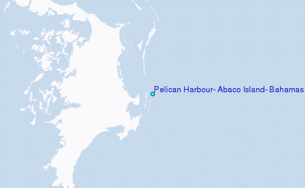
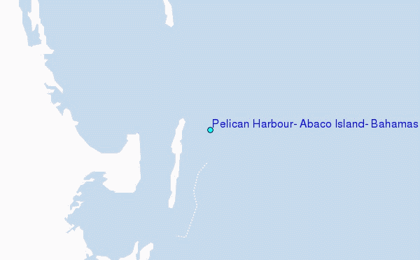
Choose Pelican Harbour, Abaco Island, Bahamas Location Map Zoom:
| Contours: | Roads & Rivers: | Select a
tide station / surf break / city |
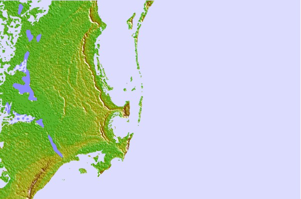
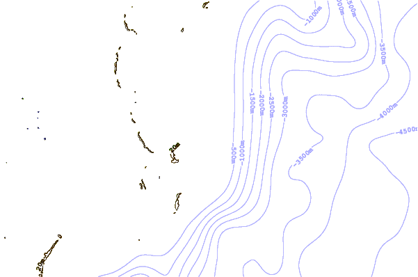
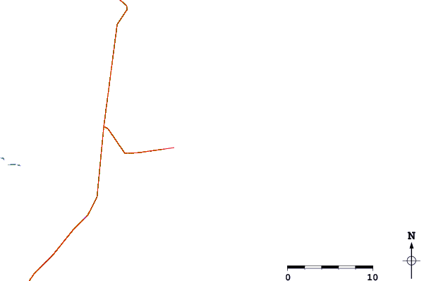
Use this relief map to navigate to tide stations, surf breaks and cities that are in the area of Pelican Harbour, Abaco Island, Bahamas.
Other Nearby Locations' tide tables and tide charts to Pelican Harbour, Abaco Island, Bahamas:
click location name for more details
 Surf breaks close to Pelican Harbour, Abaco Island, Bahamas:
|
||
|---|---|---|
| Closest surf break | Tilloo Cut | 8 mi |
| Second closest surf break | Garbanzo | 9 mi |
| Third closest surf break | Sugar Shack | 9 mi |
| Fourth closest surf break | Rush reef | 11 mi |
| Fifth closest surf break | Indicas | 11 mi |

 Nearest
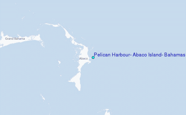