
| Distance / Altitude | Location | Report Date / Time | Live Weather | Wind | Gusts | Temp. | Visibility | Cloud |
|---|---|---|---|---|---|---|---|---|
| 154 km SSE / 77 m | Pontianak/Supadio Airport (Indonesia) | 2024-04-20 02:30 local (2024/04/19 19:30 GMT) | State of sky unchanged | light winds from the E (6 km/h at 80) | 26°C | 26 km | few mostly cloudy - | |
| 154 km ENE / 218 m | Kuching Airport (Malaysia) | 2024-04-20 02:30 local (2024/04/19 19:30 GMT) | - | calm (0 km/h at 0) | 26°C | 10.0 | few | |
| 156 km ENE / 27 m | Kuching (Malaysia) | 2024-04-20 01:00 local (2024/04/19 18:00 GMT) | - | calm (0 km/h at 220) | 27°C | 35 km | mostly cloudy | |
| 274 km E / 214 m | Simanggang Airport (Malaysia) | 2024-04-20 02:00 local (2024/04/19 19:00 GMT) | - | calm (0 km/h at 0) | 26°C | |||
| 304 km SW / 15 m | SHIP6100 (Marine) | 2024-04-20 01:00 local (2024/04/19 18:00 GMT) | light winds from the E (7.5600000000000005 km/h at 90) | 30°C | 17.7 km |
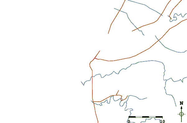
| Contours: | Roads & Rivers: | Select a
tide station / surf break / city |
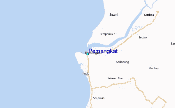
Use this relief map to navigate to tide stations, surf breaks and cities that are in the area of Pemangkat.
Other Nearby Locations' tide tables and tide charts to Pemangkat:
click location name for more details
 Surf breaks close to Pemangkat:
|
||
|---|---|---|
| Closest surf break | Tioman Island | 347 mi |
| Second closest surf break | Cherating | 436 mi |
| Third closest surf break | Kijal | 438 mi |
| Fourth closest surf break | Kelulut (Marang) | 483 mi |
| Fifth closest surf break | Tungku Beach or KM26 | 485 mi |

 Nearest
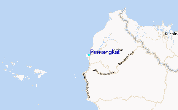