
| Distance / Altitude | Location | Report Date / Time | Live Weather | Wind | Gusts | Temp. | Visibility | Cloud |
|---|---|---|---|---|---|---|---|---|
| 106 km E / 5 m | Ahmad Yani International Airport (Indonesia) | 2024-04-25 13:30 local (2024/04/25 06:30 GMT) | Dry and partly cloudy | moderate winds from the NE (20 km/h at 40) | 31°C | 8.0 | few broken | |
| 195 km WSW / 913 m | Cileuweung Dua wx (Indonesia) | 2024-04-25 13:34 local (2024/04/25 06:34 GMT) | - | calm (5 km/h at 46) | 28°C | - | - - 0 | |
| 200 km WSW / 841 m | Cibeunying wx (Indonesia) | 2024-04-25 13:17 local (2024/04/25 06:17 GMT) | - | calm (5 km/h at 46) | 28°C | - | - - 0 | |
| 205 km WSW / 796 m | Srigunting wx (Indonesia) | 2024-04-25 14:18 local (2024/04/25 07:18 GMT) | - | light winds from the NE (10 km/h at 46) | 29°C | - | - - 0 | |
| 209 km WSW / 820 m | Kalidam wx (Indonesia) | 2024-04-25 13:19 local (2024/04/25 06:19 GMT) | - | calm (0 km/h at 0) | 32°C | - | - - 0 |
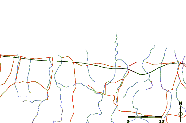
| Contours: | Roads & Rivers: | Select a
tide station / surf break / city |
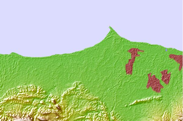
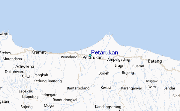
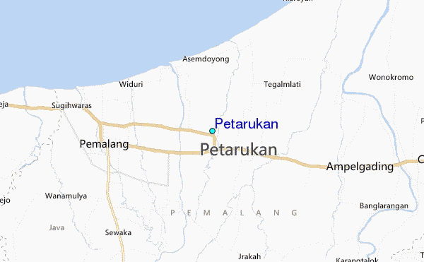
Use this relief map to navigate to tide stations, surf breaks and cities that are in the area of Petarukan.
Other Nearby Locations' tide tables and tide charts to Petarukan:
click location name for more details
 Surf breaks close to Petarukan:
|
||
|---|---|---|
| Closest surf break | Karang Nini | 74 mi |
| Second closest surf break | Batu Mandi | 79 mi |
| Third closest surf break | Batu Hiu | 83 mi |
| Fourth closest surf break | Batu Karas | 88 mi |
| Fifth closest surf break | Keusik Luhur | 91 mi |

 Nearest
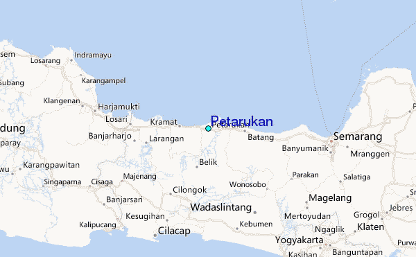