
| Distance / Altitude | Location | Report Date / Time | Live Weather | Wind | Gusts | Temp. | Visibility | Cloud |
|---|---|---|---|---|---|---|---|---|
| 71 km WNW / 6 m | False Pass Airport (Alaska) | 2024-04-17 19:30 local (2024/04/18 03:30 GMT) | Light snow | strong winds from the NW (39 km/h at 320) | 2°C | 3 | overcast | |
| 76 km NNE / 3 m | BUOY-KGCA2 (Marine) | 2024-04-17 20:00 local (2024/04/18 04:00 GMT) | fresh winds from the NW (35 km/h at 320) | 3°C | - | |||
| 76 km NNE / 3 m | BUOY-KCXA2 (Marine) | 2024-04-17 20:36 local (2024/04/18 04:36 GMT) | strong winds from the NNW (42 km/h at 340) | 3°C | - | |||
| 83 km NNE / 47 m | King Cove Airport (Alabama) (Alaska) | 2024-04-17 18:56 local (2024/04/18 02:56 GMT) | Dry and cloudy | light winds from the NNE.(Wind varies from 340 to 090 degs) (15 km/h at 20) | 4°C | 16 | overcast | |
| 89 km N / 161 m | Cold Bay Airport (Alaska) | 2024-04-17 19:32 local (2024/04/18 03:32 GMT) | Light snow | moderate winds from the NNW (26 km/h at 340) | 2°C | 5 | scattered overcast |
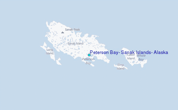
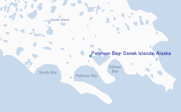
Choose Peterson Bay, Sanak Islands, Alaska Location Map Zoom:
| Contours: | Roads & Rivers: | Select a
tide station / surf break / city |
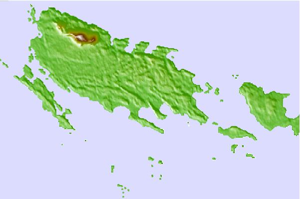
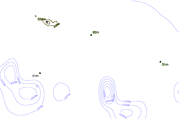
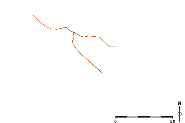
Use this relief map to navigate to tide stations, surf breaks and cities that are in the area of Peterson Bay, Sanak Islands, Alaska.
Other Nearby Locations' tide tables and tide charts to Peterson Bay, Sanak Islands, Alaska:
click location name for more details
 Surf breaks close to Peterson Bay, Sanak Islands, Alaska:
|
||
|---|---|---|
| Closest surf break | Fossil Beach Kodiak | 449 mi |
| Second closest surf break | Monashka Bay | 458 mi |
| Third closest surf break | Termination Point | 460 mi |
| Fourth closest surf break | Mill Bay | 461 mi |
| Fifth closest surf break | Bird Point (Tidal Bore) | 602 mi |

 Nearest
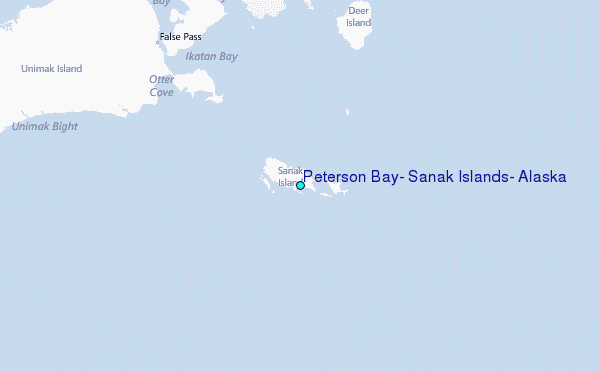