
| Distance / Altitude | Location | Report Date / Time | Live Weather | Wind | Gusts | Temp. | Visibility | Cloud |
|---|---|---|---|---|---|---|---|---|
| 54 km NNE / 12 m | Cam Ranh Bay Airport (Viet nam) | 2024-04-19 03:30 local (2024/04/18 20:30 GMT) | - | calm (4 km/h at 260) | 27°C | 10.0 | few | |
| 80 km NNE / 218 m | Nha Trang (Viet-nam) | 2024-04-19 04:00 local (2024/04/18 21:00 GMT) | - | calm (0 km/h at 0) | 27°C | 20 km | few | |
| 120 km SSW / 219 m | Phan Thiet (Viet-nam) | 2024-04-19 04:00 local (2024/04/18 21:00 GMT) | - | calm (4 km/h at 20) | 28°C | 20 km | mostly cloudy | |
| 131 km SSW / 15 m | SHIP8106 (Marine) | 2024-04-19 03:00 local (2024/04/18 20:00 GMT) | calm (5.4 km/h at 360) | 28°C | 17.7 km | |||
| 217 km WSW / 205 m | Ấp Phước Quả B wx (Vietnam) | 2024-04-19 04:37 local (2024/04/18 21:37 GMT) | dry | calm (2 km/h at 118) | 26°C | - | - - 0 |
| Contours: | Roads & Rivers: | Select a
tide station / surf break / city |
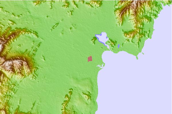
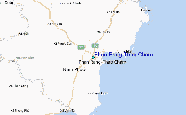
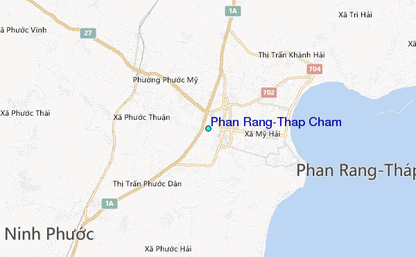
Use this relief map to navigate to tide stations, surf breaks and cities that are in the area of Phan Rang-Thap Cham.
Other Nearby Locations' tide tables and tide charts to Phan Rang-Thap Cham:
click location name for more details
 Surf breaks close to Phan Rang-Thap Cham:
|
||
|---|---|---|
| Closest surf break | Bai Dai Nha Trang | 40 mi |
| Second closest surf break | Dark Reef | 44 mi |
| Third closest surf break | Mui Ne | 64 mi |
| Fourth closest surf break | Vung Tau (Back Beach) | 154 mi |
| Fifth closest surf break | Cue Dai Beach | 302 mi |

 Nearest
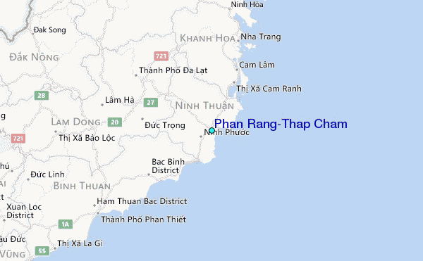