
| Distance / Altitude | Location | Report Date / Time | Live Weather | Wind | Gusts | Temp. | Visibility | Cloud |
|---|---|---|---|---|---|---|---|---|
| 0 km SSE / 3 m | BUOY-PHBP1 (Marine) | 2024-04-25 18:00 local (2024/04/25 22:00 GMT) | - (- km/h at -) | 15°C | - | |||
| 7 km NE / 3 m | BUOY-BDSP1 (Marine) | 2024-04-25 18:00 local (2024/04/25 22:00 GMT) | - (- km/h at -) | 14°C | - | |||
| 11 km SSW / 218 m | Philadelphia Airport (Pennsylvania) | 2024-04-25 16:54 local (2024/04/25 20:54 GMT) | Dry and partly cloudy | light winds from the ESE (9 km/h at 110) | 15°C | 16 | scattered broken | |
| 20 km NNE / 217 m | Philadelphia/ne Airport (Pennsylvania) | 2024-04-25 17:03 local (2024/04/25 21:03 GMT) | Dry and partly cloudy | light winds from the E (11 km/h at 100) | 14°C | 16 | broken | |
| 25 km NW / 217 m | Philly Wings Field Airport (Pennsylvania) | 2024-04-25 17:35 local (2024/04/25 21:35 GMT) | Dry and partly cloudy | light winds from the NE (13 km/h at 40) | 15°C | 16 | broken |
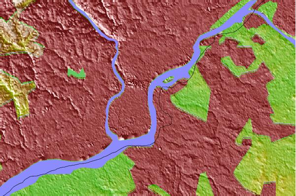
| Contours: | Roads & Rivers: | Select a
tide station / surf break / city |
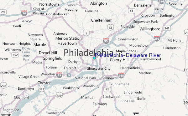
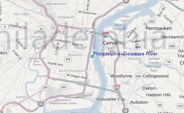
Use this relief map to navigate to tide stations, surf breaks and cities that are in the area of Philadelphia, Delaware River.
Other Nearby Locations' tide tables and tide charts to Philadelphia, Delaware River:
click location name for more details
 Surf breaks close to Philadelphia, Delaware River:
|
||
|---|---|---|
| Closest surf break | Great Egg Harbor Inlet Longport | 54 mi |
| Second closest surf break | Margate Pier | 54 mi |
| Third closest surf break | 36th Street | 54 mi |
| Fourth closest surf break | Ventnor Pier | 54 mi |
| Fifth closest surf break | Waverly | 54 mi |

 Nearest
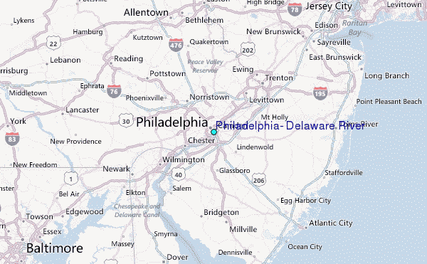