
| Distance / Altitude | Location | Report Date / Time | Live Weather | Wind | Gusts | Temp. | Visibility | Cloud |
|---|---|---|---|---|---|---|---|---|
| 6 km ESE / 19 m | Pointe -Noire (Republic of the Congo) | 2026-06-09 07:00 local (2026/06/09 06:00 GMT) | no report | light winds from the S (15 km/h at 180) | 26°C | 8 | - - - | |
| 8 km ESE / 215 m | Pointe Noire Airport (Congo/zaire) | 2026-06-09 06:00 local (2026/06/09 05:00 GMT) | - | light winds from the SE.(Wind varies from 100 to 160 degs) (6 km/h at 130) | 23°C | 6.0 | few | |
| 91 km SSE / 20 m | Cabinda Airport (Angola) | 2026-06-09 06:00 local (2026/06/09 05:00 GMT) | Dry and partly cloudy | calm (4 km/h at 130) | 23°C | 9.0 | scattered | |
| 116 km NE / 331 m | Dolisie (Republic of the Congo) | 2026-06-09 07:00 local (2026/06/09 06:00 GMT) | no report | - (- km/h at -) | 26°C | 8 | - | |
| 168 km NNE / 7 m | Makabana (Congo) | 2026-06-09 07:00 local (2026/06/09 06:00 GMT) | no report | calm (4 km/h at 360) | 25°C | 9 | - | |
| 208 km NE / 29 m | Sibiti (Congo) | 2026-06-09 07:00 local (2026/06/09 06:00 GMT) | no report | wind obs. (7 kph from 360 degs) was rejected (- km/h at -) | 22°C | 6 | - | |
| 247 km ENE / 17 m | Mouyondzi (Congo) | 2026-06-09 07:00 local (2026/06/09 06:00 GMT) | mist | calm (4 km/h at 280) | 23°C | 3000 | - | |
| 335 km NW / 89 m | Mouila (Gabon) | 2026-06-09 07:00 local (2026/06/09 06:00 GMT) | fog, sky visible, thinning | - (- km/h at -) | — | 1000 | - - - | |
| 384 km E / 316 m | BrazzavilleMaya-Maya (Republic of the Congo) | 2026-06-09 07:00 local (2026/06/09 06:00 GMT) | mist | light winds from the W (7 km/h at 280) | 24°C | 4600 | - overcast - | |
| 384 km E / 707 m | Brazzaville/Maya-Maya Airport (Congo/zaire) | 2026-06-09 06:00 local (2026/06/09 05:00 GMT) | Dry and partly cloudy | wind obs. (6 kph from 1 degs) was rejected (- km/h at -) | 22°C | 7.0 | broken |
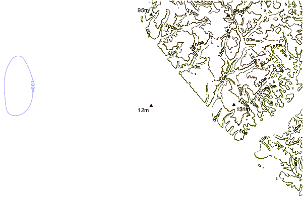
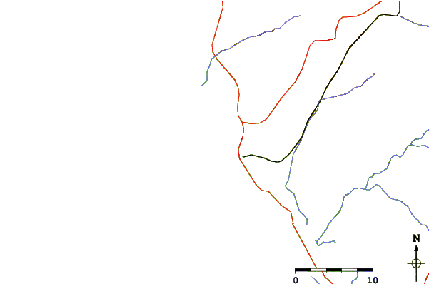
| Contours: | Roads & Rivers: | Select a
tide station / surf break / city |
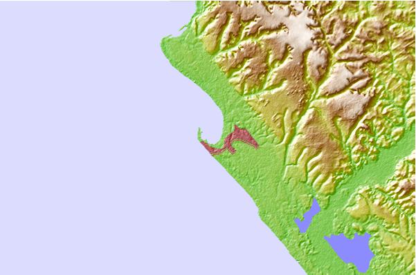
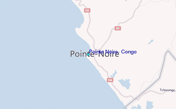
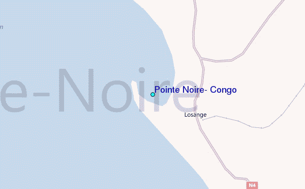
Use this relief map to navigate to tide stations, surf breaks and cities that are in the area of Pointe Noire, Congo.
Other Nearby Locations' tide tables and tide charts to Pointe Noire, Congo:
click location name for more details
 Surf breaks close to Pointe Noire, Congo:
|
||
|---|---|---|
| Closest surf break | Le Piege | 1 mi |
| Second closest surf break | Cote Sauvage | 2 mi |
| Third closest surf break | Ambriz Point | 228 mi |
| Fourth closest surf break | Chicala | 295 mi |
| Fifth closest surf break | Mussulo | 296 mi |


 Nearest
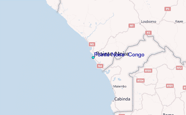