
| Distance / Altitude | Location | Report Date / Time | Live Weather | Wind | Gusts | Temp. | Visibility | Cloud |
|---|---|---|---|---|---|---|---|---|
| 107 km NW / 217 m | Majene (Indonesia (sulawesi)) | 2024-04-18 11:00 local (2024/04/18 03:00 GMT) | - | wind obs. (7 kph from 220 degs) was rejected (- km/h at -) | 32°C | 32 km | mostly cloudy | |
| 146 km NE / 50 m | MasambaAndiJemma (Indonesia) | 2024-04-18 11:00 local (2024/04/18 03:00 GMT) | - | wind obs. (6 kph from 180 degs) was rejected (- km/h at -) | 31°C | 30 km | scattered | |
| 185 km S / 217 m | Hasanuddin/Ujung Airport (Indonesia) | 2024-04-18 11:30 local (2024/04/18 03:30 GMT) | Dry and partly cloudy | light winds from the S.(Wind varies from 150 to 220 degs) (6 km/h at 180) | 32°C | 10.0 | scattered | |
| 185 km S / 14 m | UjungPandangHasanuddin (Indonesia) | 2024-04-18 11:00 local (2024/04/18 03:00 GMT) | - | calm (4 km/h at 180) | 32°C | 30 km | mostly cloudy | |
| 266 km NE / 2 m | PosoKasiguncu (Indonesia) | 2024-04-18 11:00 local (2024/04/18 03:00 GMT) | - | light winds from the NE (7 km/h at 50) | 32°C | 29 km | - scattered - |
| Contours: | Roads & Rivers: | Select a
tide station / surf break / city |
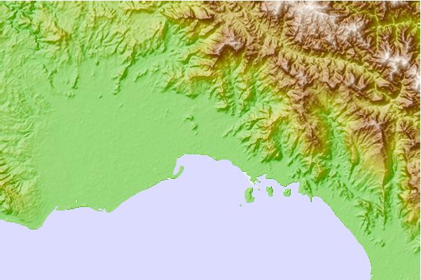
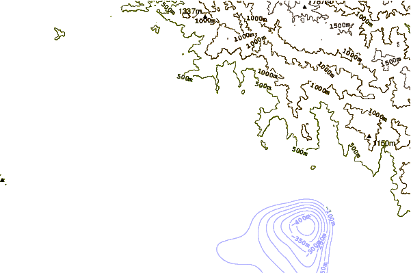
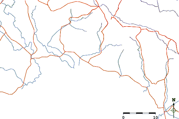
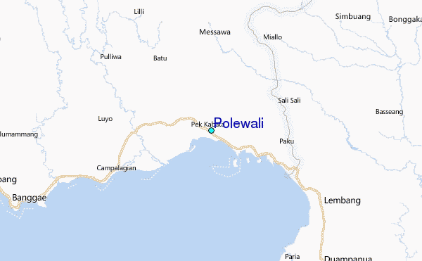
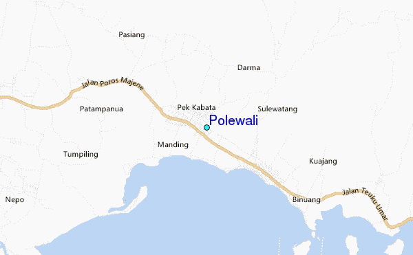
Use this relief map to navigate to tide stations, surf breaks and cities that are in the area of Polewali.
Other Nearby Locations' tide tables and tide charts to Polewali:
click location name for more details
 Surf breaks close to Polewali:
|
||
|---|---|---|
| Closest surf break | Periscope Point | 377 mi |
| Second closest surf break | Nungas | 377 mi |
| Third closest surf break | Lakai Peak | 378 mi |
| Fourth closest surf break | Lakai Pipe | 378 mi |
| Fifth closest surf break | Northern Rights | 403 mi |

 Nearest
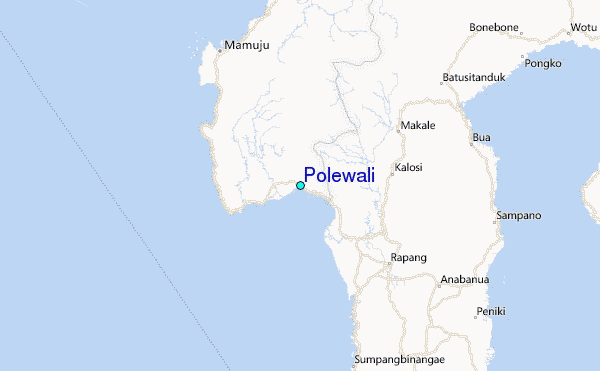