
| Distance / Altitude | Location | Report Date / Time | Live Weather | Wind | Gusts | Temp. | Visibility | Cloud |
|---|---|---|---|---|---|---|---|---|
| 0 km NW / 3 m | BUOY-PLXA2 (Marine) | 2024-04-24 18:48 local (2024/04/25 02:48 GMT) | light winds from the WSW (8 km/h at 240) | 10°C | - | |||
| 42 km SE / 3 m | BUOY-CDEA2 (Marine) | 2024-04-24 18:22 local (2024/04/25 02:22 GMT) | moderate winds from the WNW (26 km/h at 290) | 8°C | - | |||
| 86 km N / 3 m | BUOY-PGXA2 (Marine) | 2024-04-24 19:03 local (2024/04/25 03:03 GMT) | light winds from the ESE (8 km/h at 110) | 8°C | - | |||
| 91 km NNE / 215 m | Kake Airport (Alaska) | 2024-04-24 17:56 local (2024/04/25 01:56 GMT) | Dry and cloudy | light winds from the E (7 km/h at 100) | 9°C | 16 | overcast | |
| 95 km W / 3 m | Cape Edgecumbe Buoy (Marine) | 2024-04-24 18:50 local (2024/04/25 02:50 GMT) | - (4 km/h at -) | — | - |
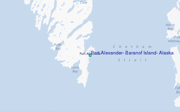
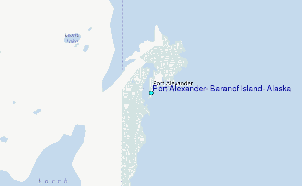
Choose Port Alexander, Baranof Island, Alaska Location Map Zoom:
| Contours: | Roads & Rivers: | Select a
tide station / surf break / city |
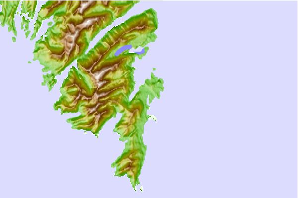
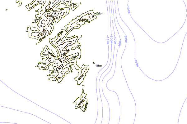
Use this relief map to navigate to tide stations, surf breaks and cities that are in the area of Port Alexander, Baranof Island, Alaska.
Other Nearby Locations' tide tables and tide charts to Port Alexander, Baranof Island, Alaska:
click location name for more details
 Surf breaks close to Port Alexander, Baranof Island, Alaska:
|
||
|---|---|---|
| Closest surf break | Lepus Beach (Haida-Gwaii) | 157 mi |
| Second closest surf break | Tow Hill Beach | 188 mi |
| Third closest surf break | Cannon Beach | 293 mi |
| Fourth closest surf break | Graveyards | 297 mi |
| Fifth closest surf break | Ocean Cape | 298 mi |

 Nearest
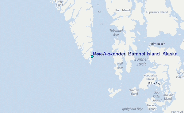