
| Distance / Altitude | Location | Report Date / Time | Live Weather | Wind | Gusts | Temp. | Visibility | Cloud |
|---|---|---|---|---|---|---|---|---|
| 34 km NE / 5 m | Sept-Iles (Canada) | 2024-04-19 03:37 local (2024/04/19 07:37 GMT) | - | calm (2 km/h at 39) | -2°C | - | - - 0 | |
| 323 km N / 603 m | Labrador City wx (Canada) | 2024-04-19 02:48 local (2024/04/19 06:48 GMT) | - | wind obs. (77 kph from 350 degs) was rejected (- km/h at -) | -4°C | - | - - 0 | |
| 325 km S / 189 m | Daigle Mill wx (United States) | 2024-04-19 03:44 local (2024/04/19 07:44 GMT) | - | calm (0 km/h at 10) | -2°C | - | - - 0 | |
| 326 km S / 716 m | Frenchville Airport (Maine) | 2024-04-19 01:53 local (2024/04/19 05:53 GMT) | Clear | light winds from the E (13 km/h at 80) | 5°C | 16 | ||
| 354 km S / 372 m | Raynesford (Montana) (Montana) | 2024-04-19 01:55 local (2024/04/19 05:55 GMT) | Dry and cloudy | light winds from the W (6 km/h at 280) | -2°C | 16 | overcast |
| Contours: | Roads & Rivers: | Select a
tide station / surf break / city |
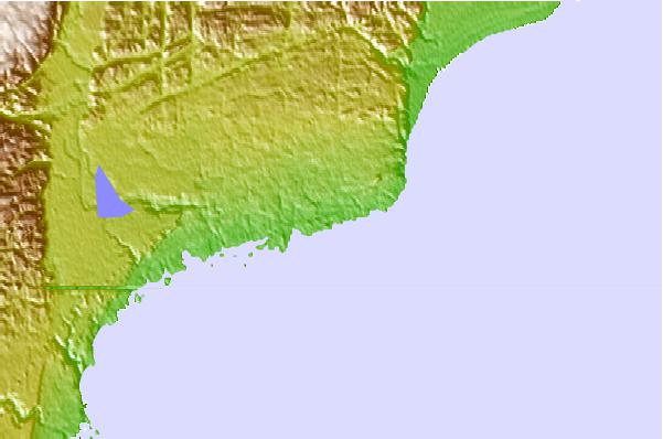
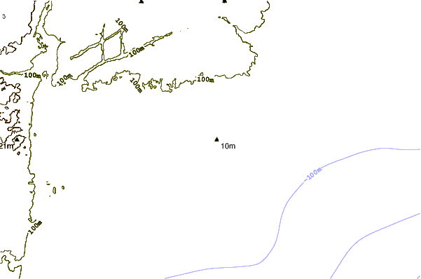
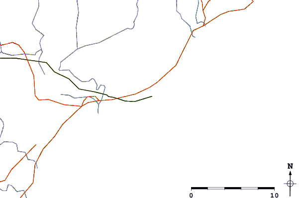
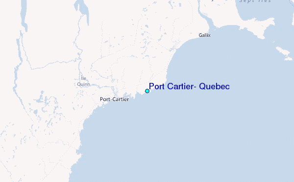
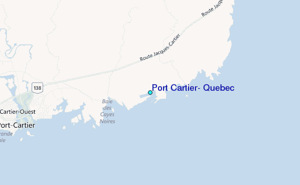
Use this relief map to navigate to tide stations, surf breaks and cities that are in the area of Port Cartier, Quebec.
Other Nearby Locations' tide tables and tide charts to Port Cartier, Quebec:
click location name for more details
 Surf breaks close to Port Cartier, Quebec:
|
||
|---|---|---|
| Closest surf break | Ingonish Beach | 376 mi |
| Second closest surf break | Minutes | 405 mi |
| Third closest surf break | Backyards | 406 mi |
| Fourth closest surf break | Lawrencetown Reef | 406 mi |
| Fifth closest surf break | Lawrencetown Right Point | 406 mi |

 Nearest
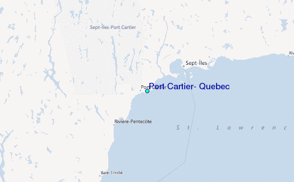