
| Distance / Altitude | Location | Report Date / Time | Live Weather | Wind | Gusts | Temp. | Visibility | Cloud |
|---|---|---|---|---|---|---|---|---|
| 9 km ENE / 55 m | Margaretsville wx (Canada) | 2024-04-19 23:49 local (2024/04/20 02:49 GMT) | dry | light winds from the SSE (6 km/h at 160) | 4°C | - | - - 0 | |
| 19 km S / 39 m | Bridgetown (Canada) | 2024-04-19 23:47 local (2024/04/20 02:47 GMT) | dry | calm (0 km/h at 345) | 3°C | - | - - 0 | |
| 20 km ESE / 216 m | Greenwood Airport (Nova Scotia) | 2024-04-19 23:00 local (2024/04/20 02:00 GMT) | Dry and partly cloudy | light winds from the SSW (6 km/h at 210) | 5°C | 24 | broken - - | |
| 20 km E / 28 m | Cfb Greenwood- NS (Canada) | 2024-04-19 23:00 local (2024/04/20 02:00 GMT) | no report | - (- km/h at -) | 5°C | - | - | |
| 41 km SSW / 6.1 m | Annapolis Royal 2 (Nova Scotia) | 2024-04-20 00:08 local (2024/04/20 03:08 GMT) | dry | - (- km/h at ) | — | - | - - 0 |
| Contours: | Roads & Rivers: | Select a
tide station / surf break / city |
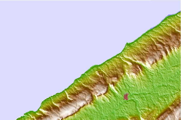
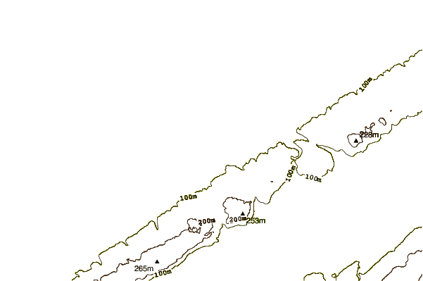
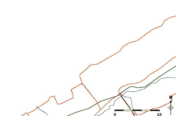
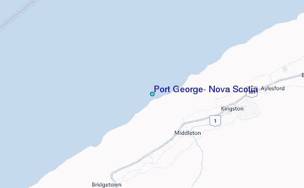
Use this relief map to navigate to tide stations, surf breaks and cities that are in the area of Port George, Nova Scotia.
Other Nearby Locations' tide tables and tide charts to Port George, Nova Scotia:
click location name for more details
 Surf breaks close to Port George, Nova Scotia:
|
||
|---|---|---|
| Closest surf break | Broad Cove | 68 mi |
| Second closest surf break | Hirtle's Beach (Hartling Bay) | 68 mi |
| Third closest surf break | Cherry Hill | 69 mi |
| Fourth closest surf break | Scotts Bay | 75 mi |
| Fifth closest surf break | Western Head Point | 75 mi |

 Nearest
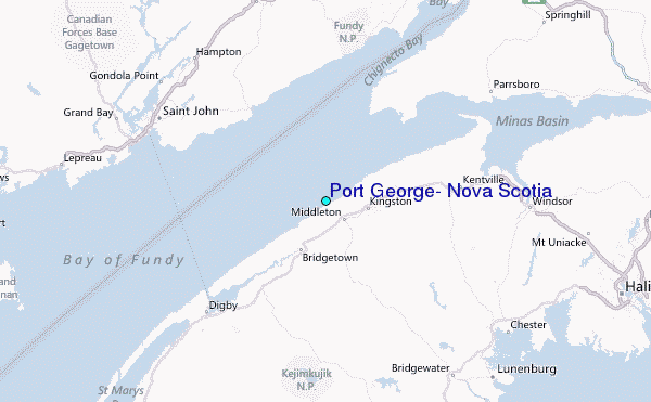