
| Distance / Altitude | Location | Report Date / Time | Live Weather | Wind | Gusts | Temp. | Visibility | Cloud |
|---|---|---|---|---|---|---|---|---|
| 55 km N / 120 m | Kalbarri (Australia) | 2024-04-20 14:00 local (2024/04/20 06:00 GMT) | no report | light winds from the NE (6 km/h at 50) | 27°C | 50 | - | |
| 65 km WSW / 3 m | North Island (Australia) | 2024-04-20 15:00 local (2024/04/20 07:00 GMT) | No report | light winds from the S (17 km/h at 190) | 28°C | - | - no observation - | |
| 80 km SSE / 37 m | Geraldton Airport (Australia) | 2024-04-20 14:30 local (2024/04/20 06:30 GMT) | Dry and partly cloudy | moderate winds from the SW (24 km/h at 220) | 32°C | 10.0 | no cloud no observation - | |
| 80 km SSE / 37 m | Geraldton Airport (Australia) | 2024-04-20 14:00 local (2024/04/20 06:00 GMT) | Dry and partly cloudy | moderate winds from the SW (24 km/h at 220) | 32°C | 10.0 | no cloud no observation - | |
| 123 km S / 15 m | SHIP12625 (Marine) | 2024-04-20 13:00 local (2024/04/20 05:00 GMT) | light winds from the NE (18.36 km/h at 50) | — | 17.7 km |
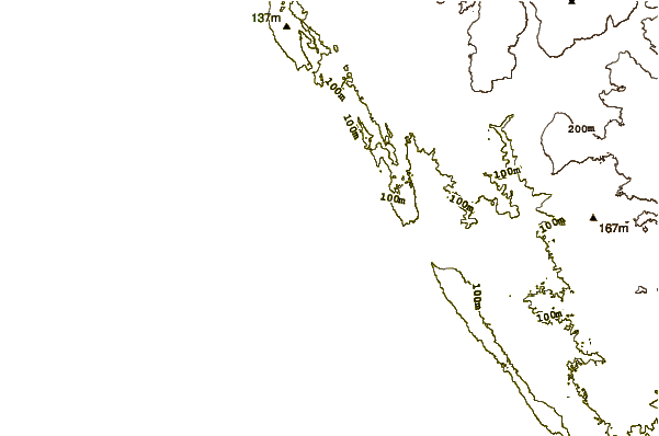
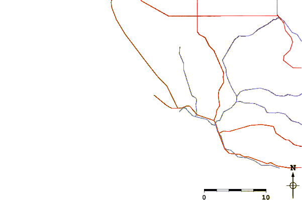
| Contours: | Roads & Rivers: | Select a
tide station / surf break / city |
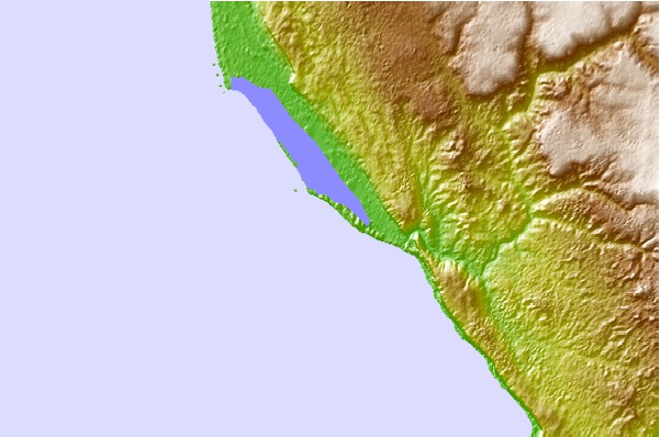
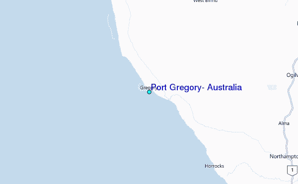
Use this relief map to navigate to tide stations, surf breaks and cities that are in the area of Port Gregory, Australia.
Other Nearby Locations' tide tables and tide charts to Port Gregory, Australia:
click location name for more details
 Surf breaks close to Port Gregory, Australia:
|
||
|---|---|---|
| Closest surf break | Horrocks | 17 mi |
| Second closest surf break | Bowes Rivermouth | 18 mi |
| Third closest surf break | Coronation Beach | 31 mi |
| Fourth closest surf break | Jakes | 33 mi |
| Fifth closest surf break | Blue Holes | 34 mi |

 Nearest
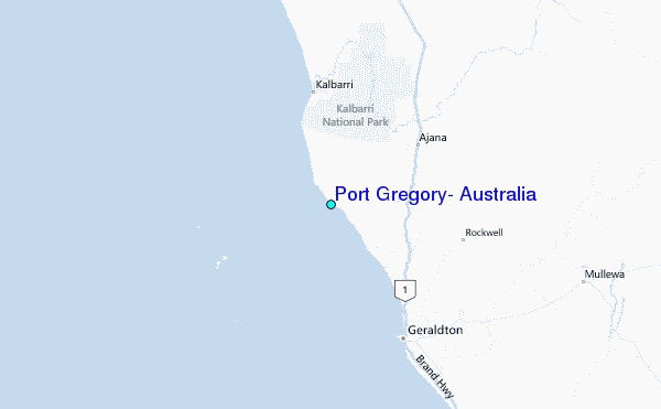