
| Distance / Altitude | Location | Report Date / Time | Live Weather | Wind | Gusts | Temp. | Visibility | Cloud |
|---|---|---|---|---|---|---|---|---|
| 15 km SE / 22 m | Blanchet wx (Guadeloupe) | 2024-04-23 13:35 local (2024/04/23 17:35 GMT) | - | wind obs. (6 kph from 36 degs) was rejected (- km/h at -) | 32°C | - | - - 0 | |
| 17 km S / 215 m | Le Raizet Airport (Lesser Antilles) | 2024-04-23 13:30 local (2024/04/23 17:30 GMT) | - | moderate winds from the ESE.(Wind varies from 080 to 150 degs) (26 km/h at 110) | 31°C | 10.0 | few | |
| 81 km NW / 6 m | Renfrew (Antigua and Barbuda) | 2024-04-23 13:22 local (2024/04/23 17:22 GMT) | dry | wind obs. (6 kph from 226 degs) was rejected (- km/h at -) | 30°C | - | - - 0 | |
| 82 km NW / 3 m | SHIP1249 (Marine) | 2024-04-23 13:00 local (2024/04/23 17:00 GMT) | - (- km/h at -) | 30°C | - | |||
| 83 km NW / 10 m | VCBirdInt l Airport Antigua (Antigua and Barbuda) | 2024-04-23 13:00 local (2024/04/23 17:00 GMT) | Widespread dust in suspension not raised by wind | light winds from the E (17 km/h at 100) | 30°C | 38 km | - few - |
| Contours: | Roads & Rivers: | Select a
tide station / surf break / city |
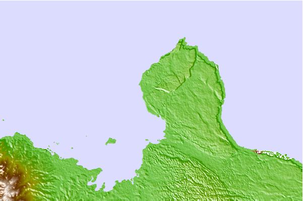
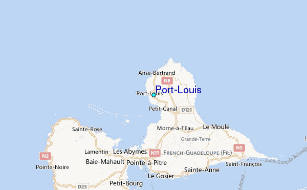
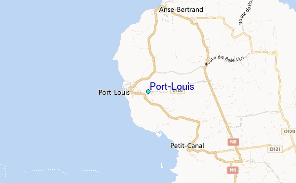
Use this relief map to navigate to tide stations, surf breaks and cities that are in the area of Port-Louis.
Other Nearby Locations' tide tables and tide charts to Port-Louis:
click location name for more details
 Surf breaks close to Port-Louis:
|
||
|---|---|---|
| Closest surf break | Antigues Cape | 2 mi |
| Second closest surf break | Port Louis | 2 mi |
| Third closest surf break | Plombier | 4 mi |
| Fourth closest surf break | Anse Bertrand | 4 mi |
| Fifth closest surf break | L'Abbatoir | 4 mi |

 Nearest
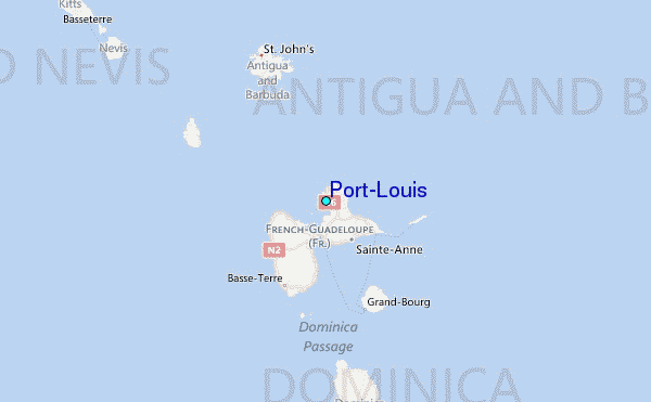