
| Distance / Altitude | Location | Report Date / Time | Live Weather | Wind | Gusts | Temp. | Visibility | Cloud |
|---|---|---|---|---|---|---|---|---|
| 63 km W / 111 m | Dumont Durville (Antarctica (ay)) | 2026-06-09 19:00 local (2026/06/09 09:00 GMT) | - | strong winds from the SE (39 km/h at 130) | -12°C | 30 km | overcast | |
| 1358 km SW / 42 m | Casey (Antarctica) | 2026-06-09 19:00 local (2026/06/09 09:00 GMT) | State of sky unchanged | moderate winds from the NNE (26 km/h at 20) | -11°C | 50 km | overcast | |
| 1480 km SSE / 8 m | Williams Field (Antarctica) | 2026-06-09 17:55 local (2026/06/09 07:55 GMT) | Dry and partly cloudy | light winds from the E (15 km/h at 80) | -29°C | 10.0 | scattered | |
| 1664 km NE / 6 m | Macquarie Island (Australia) | 2026-06-09 19:00 local (2026/06/09 09:00 GMT) | no report | strong winds from the NW (48 km/h at 310) | 8°C | - | - no observation - | |
| 2195 km ENE / 16 m | Campbell Island (New Zealand) | 2026-06-09 19:00 local (2026/06/09 09:00 GMT) | - | strong winds from the W (41 km/h at 260) | 10°C | - | - no observation - | |
| 2291 km NE / 40 m | EnderbyIslandAws (New Zealand) | 2026-06-09 19:00 local (2026/06/09 09:00 GMT) | - | fresh winds from the WNW (31 km/h at 290) | 10°C | - | - no observation - | |
| 2580 km SW / 23 m | Davis (Antarctica) | 2026-06-09 19:00 local (2026/06/09 09:00 GMT) | Light snow showers | moderate winds from the WNW (20 km/h at 290) | -27°C | - | no observation | |
| 2595 km N / 148 m | Maatsuyker Island Lighthouse (Australia) | 2026-06-09 19:00 local (2026/06/09 09:00 GMT) | no report | light winds from the NNE (9 km/h at 30) | 9°C | - | - | |
| 2620 km N / 60 m | Cape Bruny (Australia) | 2026-06-09 19:00 local (2026/06/09 09:00 GMT) | - | light winds from the NNE (17 km/h at 20) | 14°C | - | no observation | |
| 2620 km N / 60 m | Cape Bruny (Australia) | 2026-06-09 19:00 local (2026/06/09 09:00 GMT) | no report | wind obs. (15 kph from 170 degs) was rejected (- km/h at -) | 10°C | - | - no observation - |
| Contours: | Roads & Rivers: | Select a
tide station / surf break / city |
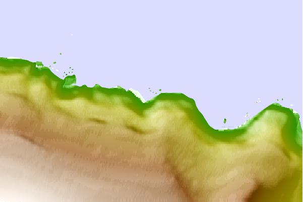
Use this relief map to navigate to tide stations, surf breaks and cities that are in the area of Port Martin, Antarctica.
Other Nearby Locations' tide tables and tide charts to Port Martin, Antarctica:
click location name for more details
 Surf breaks close to Port Martin, Antarctica:
|
||
|---|---|---|
| Closest surf break | Bruny Island - Lighthouse Bay | 1626 mi |
| Second closest surf break | Bruny Island - Mabel Bay | 1627 mi |
| Third closest surf break | Bruny Island - Lagoons | 1630 mi |
| Fourth closest surf break | Bruny Island - Jawbones | 1630 mi |
| Fifth closest surf break | Bruny Island - Cloudy Bay | 1631 mi |


 Nearest