
| Distance / Altitude | Location | Report Date / Time | Live Weather | Wind | Gusts | Temp. | Visibility | Cloud |
|---|---|---|---|---|---|---|---|---|
| 38 km WSW / 4 m | Nelson Lagoon Airport (Alaska) | 2024-04-24 13:56 local (2024/04/24 21:56 GMT) | Dry and cloudy | fresh winds from the WSW (30 km/h at 240) | 6°C | 16 | broken overcast | |
| 39 km WSW / 3 m | BUOY-NLXA2 (Marine) | 2024-04-24 15:35 local (2024/04/24 23:35 GMT) | fresh winds from the SW (37 km/h at 230) | 7°C | - | |||
| 72 km S / 3 m | BUOY-SNDA2 (Marine) | 2024-04-24 15:00 local (2024/04/24 23:00 GMT) | light winds from the SW (15 km/h at 220) | 6°C | - | |||
| 73 km S / 216 m | Sand Point Airport (Alaska) | 2024-04-24 13:58 local (2024/04/24 21:58 GMT) | Dry and partly cloudy | moderate winds from the S (22 km/h at 190) | 6°C | 16 | few broken broken | |
| 141 km ENE / 212 m | Chignik Bay Airport (Alaska) | 2024-04-24 14:31 local (2024/04/24 22:31 GMT) | Light rain | light winds from the NNE (13 km/h at 20) | 5°C | 3 | overcast |
| Contours: | Roads & Rivers: | Select a
tide station / surf break / city |
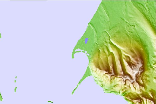

Use this relief map to navigate to tide stations, surf breaks and cities that are in the area of Port Moller, Bristol Bay, Alaska.
Other Nearby Locations' tide tables and tide charts to Port Moller, Bristol Bay, Alaska:
click location name for more details
 Surf breaks close to Port Moller, Bristol Bay, Alaska:
|
||
|---|---|---|
| Closest surf break | Fossil Beach Kodiak | 327 mi |
| Second closest surf break | Monashka Bay | 332 mi |
| Third closest surf break | Termination Point | 333 mi |
| Fourth closest surf break | Mill Bay | 334 mi |
| Fifth closest surf break | Bird Point (Tidal Bore) | 466 mi |

 Nearest