
| Distance / Altitude | Location | Report Date / Time | Live Weather | Wind | Gusts | Temp. | Visibility | Cloud |
|---|---|---|---|---|---|---|---|---|
| 2 km W / 1 m | Shoal Bay wx (Australia) | 2024-04-18 17:08 local (2024/04/18 07:08 GMT) | dry | light winds from the NW (6 km/h at 312) | 21°C | - | - - 0 | |
| 8 km SW / 1 m | Corlette wx (Australia) | 2024-04-18 17:02 local (2024/04/18 07:02 GMT) | dry | calm (2 km/h at 25) | 18°C | - | - - 0 | |
| 17 km WSW / 1 m | Mallabula wx (Australia) | 2024-04-18 17:07 local (2024/04/18 07:07 GMT) | dry | calm (0 km/h at 291) | 21°C | - | - - 0 | |
| 34 km SW / 216 m | Williamtown Airport (Australia) | 2024-04-18 17:00 local (2024/04/18 07:00 GMT) | Shower - in the vicinity | light winds from the NW (11 km/h at 310) | 20°C | 10.0 | scattered no observation broken | |
| 42 km SW / 33 m | Newcastle Nobbys Signal Station (Australia) | 2024-04-18 16:00 local (2024/04/18 06:00 GMT) | no report | light winds from the ESE (11 km/h at 110) | 21°C | - | - no observation - |
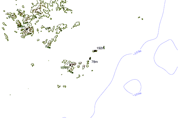
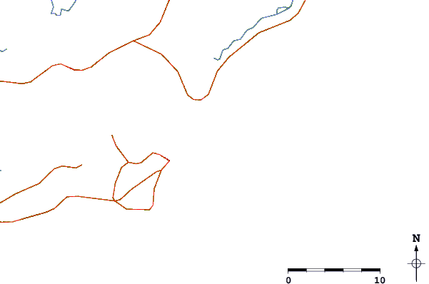
| Contours: | Roads & Rivers: | Select a
tide station / surf break / city |
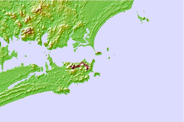
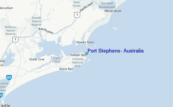
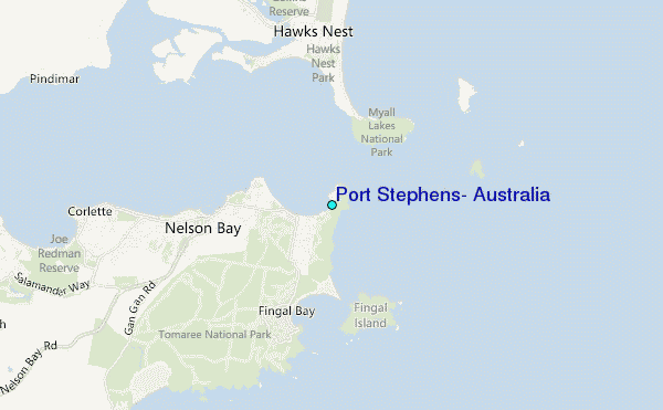
Use this relief map to navigate to tide stations, surf breaks and cities that are in the area of Port Stephens, Australia.
Other Nearby Locations' tide tables and tide charts to Port Stephens, Australia:
click location name for more details
 Surf breaks close to Port Stephens, Australia:
|
||
|---|---|---|
| Closest surf break | Zenith Beach | 1 mi |
| Second closest surf break | Box Beach | 1 mi |
| Third closest surf break | Fingal Bay | 2 mi |
| Fourth closest surf break | Fly Roads | 2 mi |
| Fifth closest surf break | One Mile Beach | 5 mi |

 Nearest
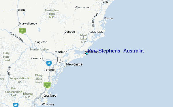