
| Distance / Altitude | Location | Report Date / Time | Live Weather | Wind | Gusts | Temp. | Visibility | Cloud |
|---|---|---|---|---|---|---|---|---|
| 25 km SW / 14 m | Yanakie (Australia) | 2024-04-20 12:00 local (2024/04/20 02:00 GMT) | no report | light winds from the SW (19 km/h at 230) | 16°C | - | - | |
| 30 km ENE / 18 m | Yarram Airport (Australia) | 2024-04-20 12:00 local (2024/04/20 02:00 GMT) | no report | light winds from the WSW (17 km/h at 250) | 17°C | - | - | |
| 30 km ENE / 18 m | Yarram Airport (Australia) | 2024-04-20 11:00 local (2024/04/20 01:00 GMT) | no report | light winds from the W (9 km/h at 270) | 16°C | - | - no observation - | |
| 48 km S / 97 m | WilsonsPromontoryLighthouse (Australia) | 2024-04-20 13:00 local (2024/04/20 03:00 GMT) | no report | fresh winds from the W (33 km/h at 260) | 15°C | - | - no observation - | |
| 54 km N / 56 m | Latrobe Valley Airport (Australia) | 2024-04-20 12:00 local (2024/04/20 02:00 GMT) | no report | light winds from the SW (9 km/h at 230) | 17°C | - | - |
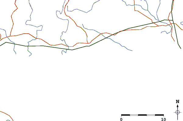
| Contours: | Roads & Rivers: | Select a
tide station / surf break / city |
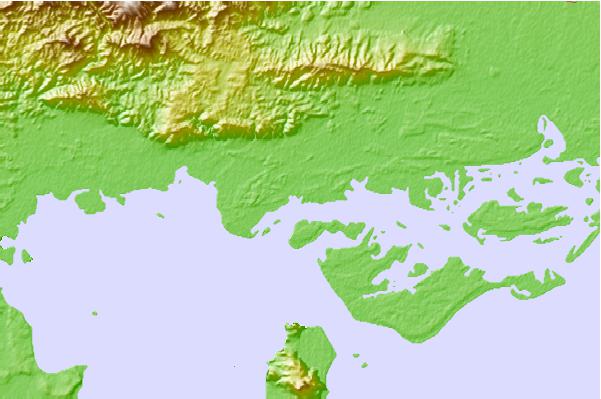

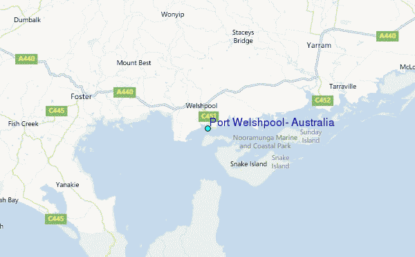
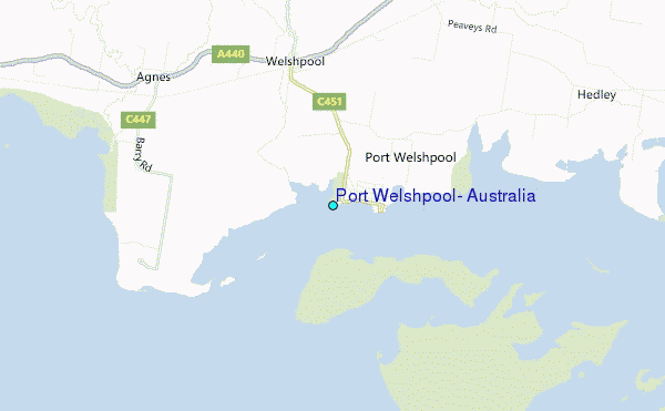
Use this relief map to navigate to tide stations, surf breaks and cities that are in the area of Port Welshpool, Australia.
Other Nearby Locations' tide tables and tide charts to Port Welshpool, Australia:
click location name for more details
 Surf breaks close to Port Welshpool, Australia:
|
||
|---|---|---|
| Closest surf break | Sandy Point | 20 mi |
| Second closest surf break | Buckleys Reef (Wilsons Promontory) | 22 mi |
| Third closest surf break | Darbys (Wilsons Promontory) | 22 mi |
| Fourth closest surf break | Sealers Cove (Wilsons Promontory) | 22 mi |
| Fifth closest surf break | Picnic Bay (Wilsons Promontory) | 24 mi |

 Nearest
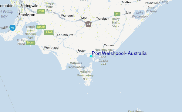