
| Distance / Altitude | Location | Report Date / Time | Live Weather | Wind | Gusts | Temp. | Visibility | Cloud |
|---|---|---|---|---|---|---|---|---|
| 12 km SSW / 218 m | Cocos Islands International Airport (Australia) | 2026-06-09 19:00 local (2026/06/09 12:30 GMT) | - | light winds from the ESE (13 km/h at 110) | 27°C | 10.0 | few | |
| 13 km S / 4 m | CocosIslandAero (Cocos Islands) | 2026-06-09 19:30 local (2026/06/09 13:00 GMT) | Clear skies | light winds from the ESE (13 km/h at 110) | 27°C | - | - no observation - | |
| 977 km E / 184 m | Christmas Island Airport (Australia) | 2026-06-09 19:00 local (2026/06/09 12:30 GMT) | Dry and partly cloudy | light winds from the ESE (15 km/h at 120) | 25°C | 10.0 | broken | |
| 978 km E / 262 m | ChristmasIslandAero (Christmas Island) | 2026-06-09 19:30 local (2026/06/09 13:00 GMT) | Clear skies | light winds from the SE (15 km/h at 130) | 25°C | - | - no observation - | |
| 1088 km NE / 16 m | BengkuluPadangKemiling (Indonesia) | 2026-06-09 18:30 local (2026/06/09 12:00 GMT) | - | calm (4 km/h at 240) | 29°C | 30 km | overcast | |
| 1196 km NE / 96 m | TanjungKarangRadinInten II (Indonesia) | 2026-06-09 18:30 local (2026/06/09 12:00 GMT) | - | light winds from the SE (7 km/h at 140) | 29°C | 30 km | mostly cloudy | |
| 1229 km NNE / 130 m | lightning 78km NNW of Lubuklinggau (Indonesia) | 2026-06-09 18:47 local (2026/06/09 12:17 GMT) | Thunderstorm | (- km/h at -) | — | |||
| 1240 km ENE / 481 m | Genteng wx (Indonesia) | 2026-06-09 19:41 local (2026/06/09 13:11 GMT) | - | calm (0 km/h at 0) | — | - | - - 0 | |
| 1250 km ENE / 185 m | Ceheuleut wx (Indonesia) | 2026-06-09 19:46 local (2026/06/09 13:16 GMT) | - | calm (0 km/h at 0) | 32°C | - | - - 0 | |
| 1257 km ENE / 64 m | Mampang-agung wx (Indonesia) | 2026-06-09 19:12 local (2026/06/09 12:42 GMT) | - | calm (0 km/h at 0) | — | - | - - 0 |
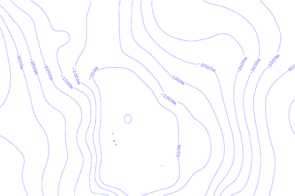
| Contours: | Roads & Rivers: | Select a
tide station / surf break / city |
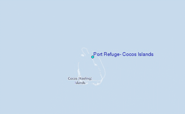
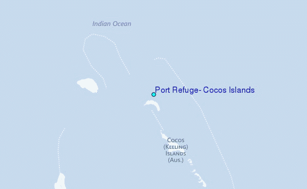
Use this relief map to navigate to tide stations, surf breaks and cities that are in the area of Port Refuge, Cocos Islands.
Other Nearby Locations' tide tables and tide charts to Port Refuge, Cocos Islands:
click location name for more details
 Surf breaks close to Port Refuge, Cocos Islands:
|
||
|---|---|---|
| Closest surf break | Jetty's | 607 mi |
| Second closest surf break | Thunders | 663 mi |
| Third closest surf break | Rags Right | 663 mi |
| Fourth closest surf break | Rags Left | 666 mi |
| Fifth closest surf break | Gilligans | 673 mi |


 Nearest
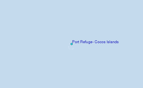