
| Distance / Altitude | Location | Report Date / Time | Live Weather | Wind | Gusts | Temp. | Visibility | Cloud |
|---|---|---|---|---|---|---|---|---|
| 29 km SE / 3 m | SHIP5221 (Marine) | 2026-06-09 11:00 local (2026/06/09 19:00 GMT) | light winds from the NNW (9 km/h at 340) | 13°C | - | |||
| 29 km SE / 216 m | Petersburg Airport (Alaska) | 2026-06-09 11:56 local (2026/06/09 19:56 GMT) | Dry and partly cloudy | wind obs. (9 kph from 60 degs) was rejected (- km/h at -) | 14°C | 16 | few scattered broken | |
| 29 km SE / 3 m | SHIP9045 (Marine) | 2026-06-09 11:00 local (2026/06/09 19:00 GMT) | light winds from the NE (11 km/h at 40) | 11°C | - | |||
| 29 km SE / 3 m | SHIP9476 (Marine) | 2026-06-09 13:00 local (2026/06/09 21:00 GMT) | light winds from the ENE (8 km/h at 60) | 13°C | - | |||
| 29 km SE / 15 m | SHIP4011 (Marine) | 2026-06-09 11:00 local (2026/06/09 19:00 GMT) | light winds from the NE (11.16 km/h at 40) | — | - km | |||
| 29 km SE / 15 m | SHIP7128 (Marine) | 2026-06-09 12:00 local (2026/06/09 20:00 GMT) | light winds from the N (7.5600000000000005 km/h at 350) | — | - km | |||
| 29 km SE / - m | SHIP1461 (ocean) | 2026-06-09 13:00 local (2026/06/09 21:00 GMT) | - | light winds from the N (11 km/h at 10) | 14°C | - | no observation | |
| 29 km SE / 15 m | SHIP4436 (Marine) | 2026-06-09 11:00 local (2026/06/09 19:00 GMT) | light winds from the NE (11.16 km/h at 40) | — | - km | |||
| 29 km SE / 15 m | SHIP3449 (Marine) | 2026-06-09 12:00 local (2026/06/09 20:00 GMT) | light winds from the WNW (9.360000000000001 km/h at 290) | — | - km | |||
| 29 km SE / 3 m | SHIP9477 (Marine) | 2026-06-09 13:00 local (2026/06/09 21:00 GMT) | light winds from the N (11 km/h at 10) | 14°C | - |
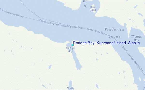
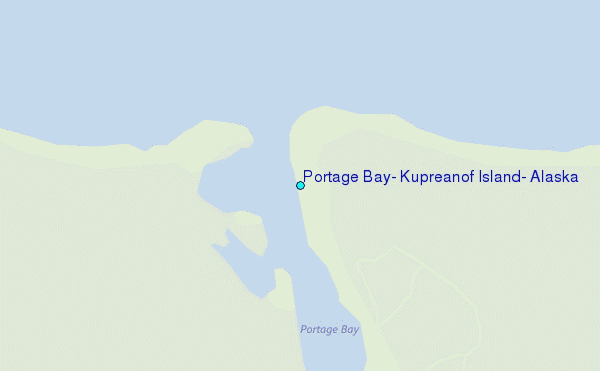
Choose Portage Bay, Kupreanof Island, Alaska Location Map Zoom:
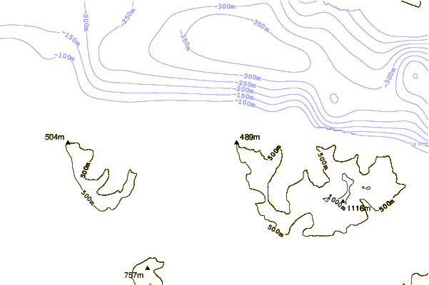
| Contours: | Roads & Rivers: | Select a
tide station / surf break / city |
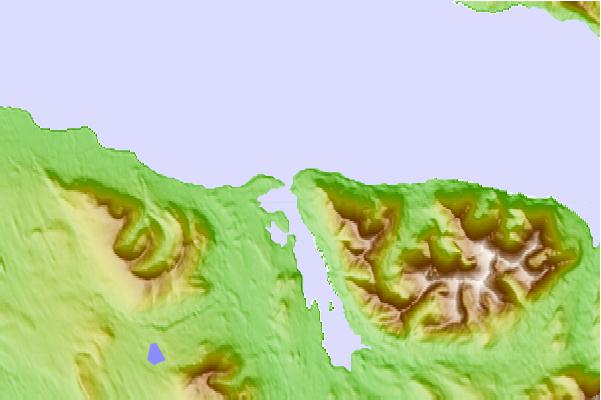
Use this relief map to navigate to tide stations, surf breaks and cities that are in the area of Portage Bay, Kupreanof Island, Alaska.
Other Nearby Locations' tide tables and tide charts to Portage Bay, Kupreanof Island, Alaska:
click location name for more details
 Surf breaks close to Portage Bay, Kupreanof Island, Alaska:
|
||
|---|---|---|
| Closest surf break | Lepus Beach (Haida-Gwaii) | 196 mi |
| Second closest surf break | Tow Hill Beach | 211 mi |
| Third closest surf break | Cannon Beach | 291 mi |
| Fourth closest surf break | Graveyards | 295 mi |
| Fifth closest surf break | Ocean Cape | 296 mi |


 Nearest
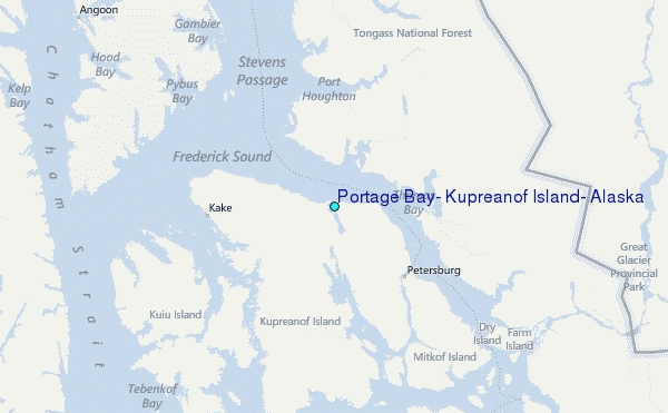