
| Distance / Altitude | Location | Report Date / Time | Live Weather | Wind | Gusts | Temp. | Visibility | Cloud |
|---|---|---|---|---|---|---|---|---|
| 130 km SSE / 217 m | Rankin Inlet Airport (N.w. Territories) | 2026-06-09 03:00 local (2026/06/09 07:00 GMT) | Light rain | near gales from the E (54 km/h at 90) | 1°C | 16 | overcast | |
| 130 km SSE / 32 m | Rankin Inlet Airport (Canada) | 2026-06-09 04:00 local (2026/06/09 08:00 GMT) | no report | - (- km/h at -) | 3°C | - | - - - | |
| 153 km W / 8 m | Baker Lake Ua- NU (Canada) | 2026-06-09 04:00 local (2026/06/09 08:00 GMT) | no report | wind obs. (11 kph from 360 degs) was rejected (- km/h at -) | 3°C | - | - - - | |
| 155 km W / 214 m | Baker Lake Airport (N.w. Territories) | 2026-06-09 03:00 local (2026/06/09 07:00 GMT) | Light rain | strong winds from the E (41 km/h at 90) | 2°C | 19 | broken overcast | |
| 275 km SSE / 0 m | lightning 148km SE of Rankin Inlet (Canada) | 2026-06-09 05:00 local (2026/06/09 09:00 GMT) | Thunderstorm | (- km/h at -) | — | |||
| 276 km NE / 18 m | Wager Bay (Nunavut) | 2026-06-09 03:00 local (2026/06/09 07:00 GMT) | - | fresh winds from the E (30 km/h at 80) | 3°C | 0.0 | ||
| 319 km S / 10 m | Arviat A- NU (Canada) | 2026-06-09 04:00 local (2026/06/09 08:00 GMT) | no report | wind obs. (18 kph from 290 degs) was rejected (- km/h at -) | 5°C | - | - - - | |
| 319 km S / 215 m | Arviat Airport (N.w. Territories) | 2026-06-09 03:00 local (2026/06/09 07:00 GMT) | - | light winds from the ESE (15 km/h at 120) | 1°C | 0.0 | ||
| 471 km E / 215 m | Coral Harbour Airport (N.w. Territories) | 2026-06-09 03:00 local (2026/06/09 07:00 GMT) | Dry and partly cloudy | light winds from the E (17 km/h at 90) | 0°C | 24 | scattered scattered | |
| 471 km W / 244 m | Robertson Lake (Aut)- NU (Canada) | 2026-06-09 04:00 local (2026/06/09 08:00 GMT) | no report | wind obs. (25 kph from 240 degs) was rejected (- km/h at -) | 8°C | - | - no observation - |
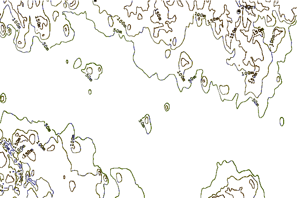
| Contours: | Roads & Rivers: | Select a
tide station / surf break / city |
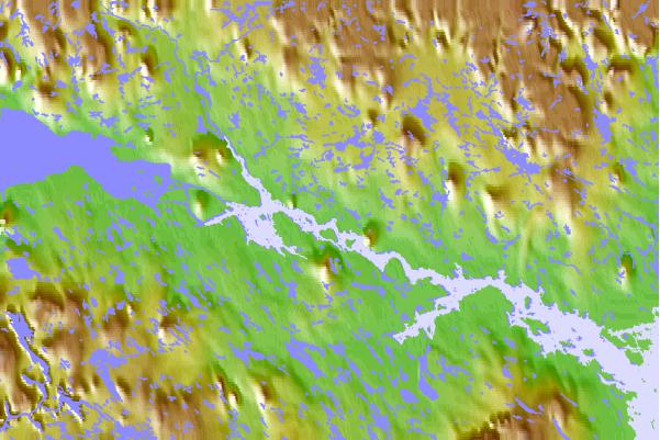
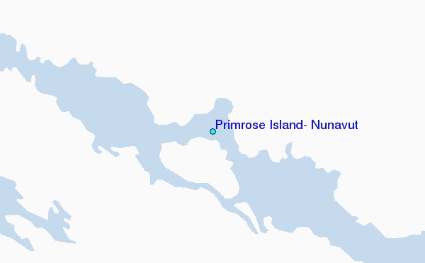
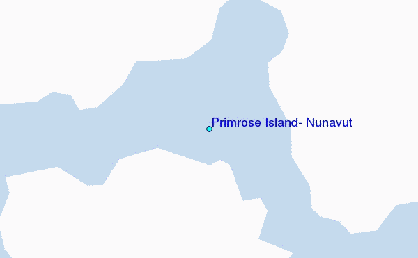
Use this relief map to navigate to tide stations, surf breaks and cities that are in the area of Primrose Island, Nunavut.
Other Nearby Locations' tide tables and tide charts to Primrose Island, Nunavut:
click location name for more details
 Surf breaks close to Primrose Island, Nunavut:
|
||
|---|---|---|
| Closest surf break | Marathon | 1077 mi |
| Second closest surf break | Keweenaw Peninsula | 1152 mi |
| Third closest surf break | Apostle Islands | 1168 mi |
| Fourth closest surf break | Stoney Point | 1172 mi |
| Fifth closest surf break | Lester River | 1185 mi |


 Nearest
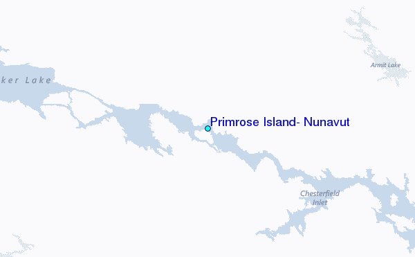