
| Distance / Altitude | Location | Report Date / Time | Live Weather | Wind | Gusts | Temp. | Visibility | Cloud |
|---|---|---|---|---|---|---|---|---|
| 4 km N / 272 m | Puerto Cabezas Airport (Nicaragua) | 2026-06-09 14:00 local (2026/06/09 20:00 GMT) | Moderate rain in the vicinity | light winds from the ESE (11 km/h at 120) | 29°C | 6.0 | few scattered | |
| 159 km NW / 191 m | Puerto Lempira Airport (Honduras) | 2026-06-09 14:00 local (2026/06/09 20:00 GMT) | Dry and partly cloudy | light winds from the ENE (9 km/h at 70) | 32°C | 10.0 | scattered broken | |
| 233 km ESE / 40 m | Providencia Isla Airport (Columbia) | 2026-06-09 14:00 local (2026/06/09 20:00 GMT) | Dry and partly cloudy | light winds from the SE.(Wind varies from 100 to 160 degs) (15 km/h at 130) | 31°C | 10.0 | scattered | |
| 241 km SE / 164 m | San Andres Island Airport (Columbia) | 2026-06-09 14:00 local (2026/06/09 20:00 GMT) | Shower light rain shower | light winds from the S.(Wind varies from 120 to 260 degs) (6 km/h at 190) | 26°C | 10.0 | scattered | |
| 242 km SW / 320 m | lightning 19km S of Waslala (Nicaragua) | 2026-06-09 15:50 local (2026/06/09 21:50 GMT) | Thunderstorm | (- km/h at -) | — | |||
| 244 km SE / 0 m | lightning 59km SW of San Andres (Colombia) | 2026-06-09 13:04 local (2026/06/09 19:04 GMT) | Thunderstorm | (- km/h at -) | — | |||
| 291 km W / 1130 m | Catacamas Airport (Honduras) | 2026-06-09 15:00 local (2026/06/09 21:00 GMT) | - | light winds from the E (9 km/h at 100) | — | 30 km | - scattered - | |
| 299 km SW / 1570 m | Jinotega Airport (Nicaragua) | 2026-06-09 14:00 local (2026/06/09 20:00 GMT) | - | calm (0 km/h at 0) | — | 10.0 | broken - - | |
| 303 km SSW / 288 m | Juigalpa Airport (Nicaragua) | 2026-06-09 14:00 local (2026/06/09 20:00 GMT) | Dry and partly cloudy | light winds from the SW (11 km/h at 220) | 30°C | 10.0 | scattered scattered | |
| 305 km W / 1194 m | Catacamas Airport (Honduras) | 2026-06-09 14:00 local (2026/06/09 20:00 GMT) | - | wind obs. (11 kph from 90 degs) was rejected (- km/h at -) | — | 10.0 | scattered - - |
| Contours: | Roads & Rivers: | Select a
tide station / surf break / city |
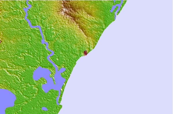
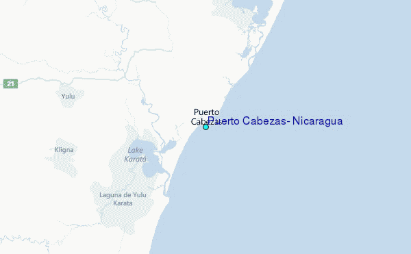
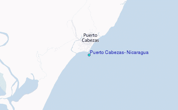
Use this relief map to navigate to tide stations, surf breaks and cities that are in the area of Puerto Cabezas, Nicaragua.
Other Nearby Locations' tide tables and tide charts to Puerto Cabezas, Nicaragua:
click location name for more details
 Surf breaks close to Puerto Cabezas, Nicaragua:
|
||
|---|---|---|
| Closest surf break | Palma Real | 243 mi |
| Second closest surf break | Punta Quilla | 254 mi |
| Third closest surf break | Playa Colorado | 255 mi |
| Fourth closest surf break | Playa Amarilla | 255 mi |
| Fifth closest surf break | Playa Gigante | 255 mi |


 Nearest
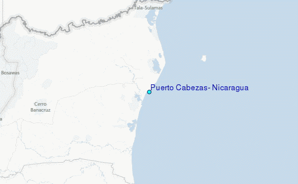