
| Distance / Altitude | Location | Report Date / Time | Live Weather | Wind | Gusts | Temp. | Visibility | Cloud |
|---|---|---|---|---|---|---|---|---|
| 71 km NNE / 190 m | Manta/Eloy Alfaro International Airport (Ecuador) | 2026-06-08 21:09 local (2026/06/09 02:09 GMT) | Dry and cloudy | light winds from the W (13 km/h at 280) | 26°C | 10.0 | broken broken overcast | |
| 124 km ESE / 211 m | Guayaquil/José Joaquín de Olmedo International Airport (Ecuador) | 2026-06-08 21:07 local (2026/06/09 02:07 GMT) | Thunderstorm light rain thunderstorm | moderate winds from the NNE (28 km/h at 20) | — | 10.0 | few few broken | |
| 153 km WSW / 15 m | ASCATC278E2S (Marine) | 2026-06-08 21:44 local (2026/06/09 02:44 GMT) | light winds from the S (16 km/h at 190) | — | - km | |||
| 176 km SSW / 15 m | ASCATC278E3S (Marine) | 2026-06-08 21:44 local (2026/06/09 02:44 GMT) | light winds from the SSW (15 km/h at 201) | — | - km | |||
| 194 km S / 15 m | ASCATC279E3S (Marine) | 2026-06-08 21:43 local (2026/06/09 02:43 GMT) | light winds from the S (18 km/h at 191) | — | - km | |||
| 212 km W / 15 m | ASCATC278E1S (Marine) | 2026-06-08 21:44 local (2026/06/09 02:44 GMT) | light winds from the S (11 km/h at 191) | — | - km | |||
| 223 km SSE / 158 m | Tumbes Pedro Canga Rodríguez Airport (Peru) | 2026-06-08 21:00 local (2026/06/09 02:00 GMT) | - | light winds from the W (9 km/h at 280) | — | 0.0 | ||
| 225 km SSE / 27 m | Tumbes (Peru) | 2026-06-08 22:00 local (2026/06/09 03:00 GMT) | Clouds dissolving | light winds from the W (11 km/h at 260) | 26°C | 30 km | scattered | |
| 226 km S / 15 m | ASCATC279E4S (Marine) | 2026-06-08 21:43 local (2026/06/09 02:43 GMT) | light winds from the SSW (18 km/h at 196) | — | - km | |||
| 237 km WNW / 15 m | ASCATC278E0S (Marine) | 2026-06-08 21:44 local (2026/06/09 02:44 GMT) | light winds from the SSW (9 km/h at 210) | — | - km |
| Contours: | Roads & Rivers: | Select a
tide station / surf break / city |
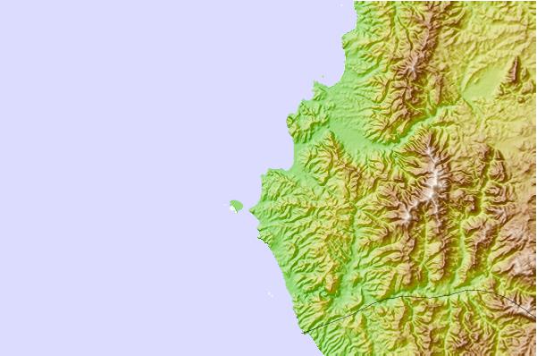
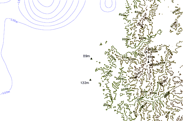
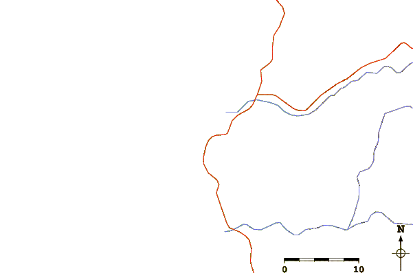
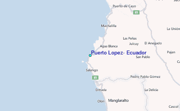
Use this relief map to navigate to tide stations, surf breaks and cities that are in the area of Puerto Lopez, Ecuador.
Other Nearby Locations' tide tables and tide charts to Puerto Lopez, Ecuador:
click location name for more details
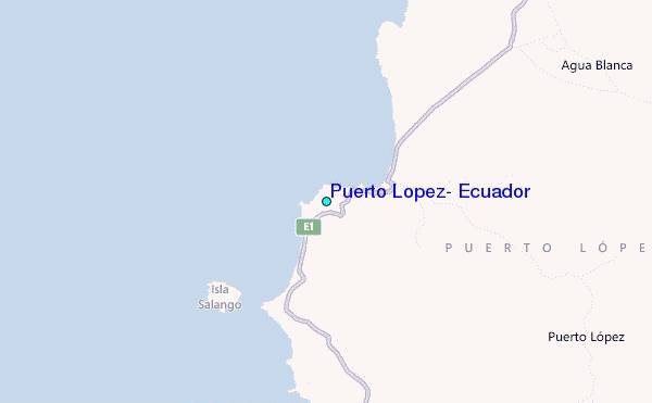
 Surf breaks close to Puerto Lopez, Ecuador:
|
||
|---|---|---|
| Closest surf break | Punta Mala | 1 mi |
| Second closest surf break | Las Tunas | 4 mi |
| Third closest surf break | Viejamar | 6 mi |
| Fourth closest surf break | Rio Chico | 7 mi |
| Fifth closest surf break | Ayampe | 9 mi |


 Nearest
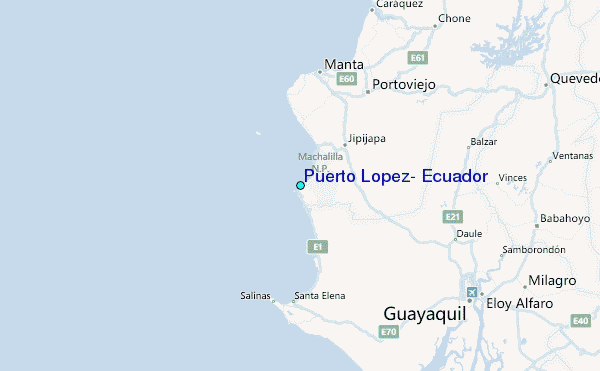