
| Distance / Altitude | Location | Report Date / Time | Live Weather | Wind | Gusts | Temp. | Visibility | Cloud |
|---|---|---|---|---|---|---|---|---|
| 109 km NW / 215 m | Trujillo Airport (Peru) | 2024-04-23 04:00 local (2024/04/23 09:00 GMT) | Mist - | light winds from the SE (9 km/h at 140) | 18°C | 2.0 | broken | |
| 113 km NW / 30 m | Trujillo(84501-0) (Peru) | 2024-04-23 04:00 local (2024/04/23 09:00 GMT) | Mist | light winds from the SE (9 km/h at 140) | 18°C | 2.0 km | mostly cloudy | |
| 179 km S / 3 m | SHIP2115 (Marine) | 2024-04-23 04:00 local (2024/04/23 09:00 GMT) | strong winds from the SSE (39 km/h at 150) | 20°C | 20.4 | |||
| 209 km N / 2934 m | Cajamarca/Major General FAP Armando Revoredo Iglesias Airport (Peru) | 2024-04-23 05:30 local (2024/04/23 10:30 GMT) | Dry and partly cloudy | calm (4 km/h at 80) | 12°C | 10.0 | scattered broken | |
| 277 km NW / 30 m | Chiclayo (Peru) | 2024-04-23 04:00 local (2024/04/23 09:00 GMT) | Clouds dissolving | moderate winds from the S (22 km/h at 190) | 22°C | 30 km | clear |
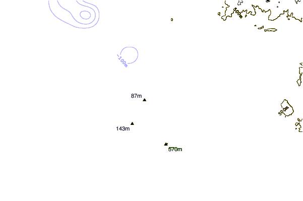
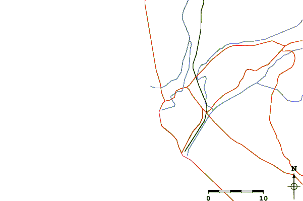
| Contours: | Roads & Rivers: | Select a
tide station / surf break / city |
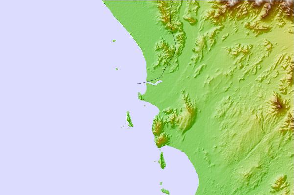
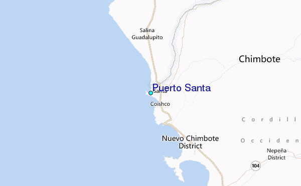
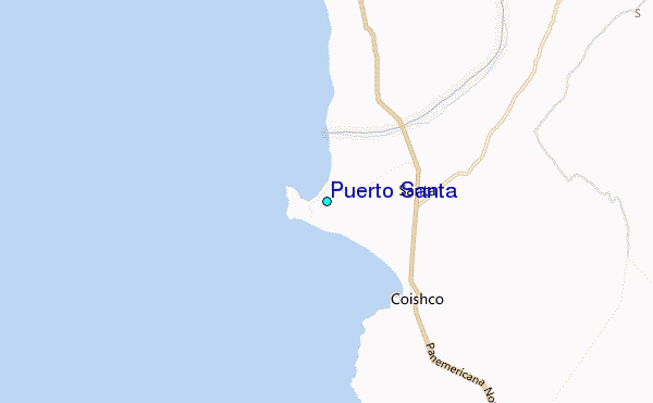
Use this relief map to navigate to tide stations, surf breaks and cities that are in the area of Puerto Santa.
Other Nearby Locations' tide tables and tide charts to Puerto Santa:
click location name for more details
 Surf breaks close to Puerto Santa:
|
||
|---|---|---|
| Closest surf break | Puerto Mori | 44 mi |
| Second closest surf break | Las Gramas | 55 mi |
| Third closest surf break | Playa Grande | 58 mi |
| Fourth closest surf break | Salaverry Harbour | 58 mi |
| Fifth closest surf break | El Camotal | 64 mi |

 Nearest
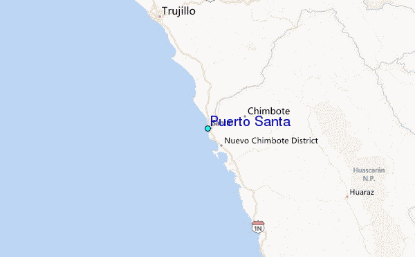