
| Distance / Altitude | Location | Report Date / Time | Live Weather | Wind | Gusts | Temp. | Visibility | Cloud |
|---|---|---|---|---|---|---|---|---|
| 119 km NW / 0 m | lightning 80km N of Moa (Cuba) | 2026-06-09 06:51 local (2026/06/09 10:51 GMT) | Thunderstorm | (- km/h at -) | — | |||
| 120 km SW / 203 m | Guantanamo Bay Airport (Cuba) | 2026-06-09 04:51 local (2026/06/09 08:51 GMT) | Dry and partly cloudy | light winds from the NW (9 km/h at 320) | 24°C | 16 | broken | |
| 180 km WSW / 209 m | Santiago De Cuba Airport (Cuba) | 2026-06-09 04:50 local (2026/06/09 08:50 GMT) | - | light winds from the NW (7 km/h at 320) | — | 0.0 | ||
| 235 km W / 208 m | Holguin Airport (Cuba) | 2026-06-09 04:50 local (2026/06/09 08:50 GMT) | - | calm (2 km/h at 60) | 22°C | 8.0 | few | |
| 267 km NE / 1 m | Kingston wx (Turks and Caicos Islands) | 2026-06-09 06:23 local (2026/06/09 10:23 GMT) | dry | light winds from the E (16 km/h at 81) | 27°C | - | - - 0 | |
| 269 km SE / 256 m | Port-Au-prince Airport (Haiti) | 2026-06-09 06:00 local (2026/06/09 10:00 GMT) | Dry and cloudy | light winds from the ESE (17 km/h at 110) | — | 7.0 | few overcast | |
| 286 km NE / 0 m | Sandy Point (Turks and Caicos Islands) | 2026-06-09 06:11 local (2026/06/09 10:11 GMT) | dry | calm (0 km/h at 314) | 25°C | - | - - 0 | |
| 332 km ESE / 64 m | Mao (Dominican Republic) | 2026-06-09 06:05 local (2026/06/09 10:05 GMT) | dry | calm (0 km/h at 278) | 23°C | - | - - 0 | |
| 370 km ESE / 183 m | Santiago(78460-0) (Dominican Republic) | 2026-06-09 05:00 local (2026/06/09 09:00 GMT) | Widespread dust in suspension not raised by wind | calm (0 km/h at 0) | 24°C | 29 km | overcast | |
| 370 km ESE / 209 m | Santiago International Airport (Dominican Republic) | 2026-06-09 05:00 local (2026/06/09 09:00 GMT) | Dry and cloudy | calm (0 km/h at 0) | 24°C | 10.0 | scattered overcast |
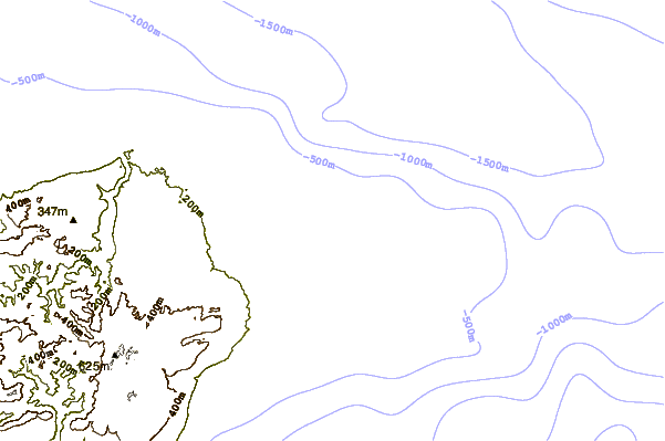
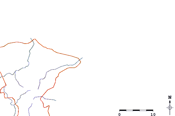
| Contours: | Roads & Rivers: | Select a
tide station / surf break / city |
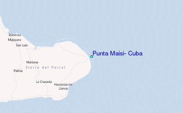
Use this relief map to navigate to tide stations, surf breaks and cities that are in the area of Punta Maisí, Cuba.
Other Nearby Locations' tide tables and tide charts to Punta Maisi, Cuba:
click location name for more details
 Surf breaks close to Punta Maisi, Cuba:
|
||
|---|---|---|
| Closest surf break | Grace Bay Cut (Providenciales) | 164 mi |
| Second closest surf break | Fort George Cut (Pine Cay) | 170 mi |
| Third closest surf break | Pine Cay Shorebreak | 172 mi |
| Fourth closest surf break | Jacmel | 175 mi |
| Fifth closest surf break | Mudjin Harbour (Middle-Caicos) | 186 mi |


 Nearest
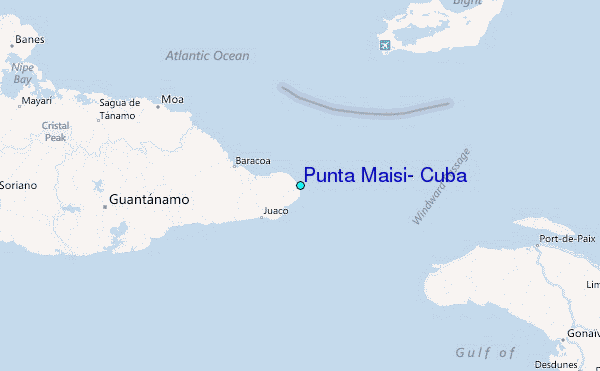