
| Distance / Altitude | Location | Report Date / Time | Live Weather | Wind | Gusts | Temp. | Visibility | Cloud |
|---|---|---|---|---|---|---|---|---|
| 9 km E / 3 m | SHIP2535 (Marine) | 2024-04-19 12:00 local (2024/04/19 16:00 GMT) | - (- km/h at -) | 33°C | - | |||
| 17 km NNE / 13 m | Humacao (Puerto Rico) | 2024-04-19 14:41 local (2024/04/19 18:41 GMT) | dry | calm (5 km/h at 107) | 27°C | - | - - 0 | |
| 26 km WSW / 154 m | Guayama (Puerto Rico) | 2024-04-19 14:34 local (2024/04/19 18:34 GMT) | dry | light winds from the NE (6 km/h at 38) | 28°C | - | - - 0 | |
| 27 km WNW / 400 m | Vegas wx (Puerto Rico) | 2024-04-19 13:20 local (2024/04/19 17:20 GMT) | light rain | calm (3 km/h at 279) | — | - | - - 0 | |
| 27 km NNE / 424 m | Naguabo (Puerto Rico) | 2024-04-19 14:20 local (2024/04/19 18:20 GMT) | dry | calm (3 km/h at 114) | 26°C | - | - - 0 |
| Contours: | Roads & Rivers: | Select a
tide station / surf break / city |
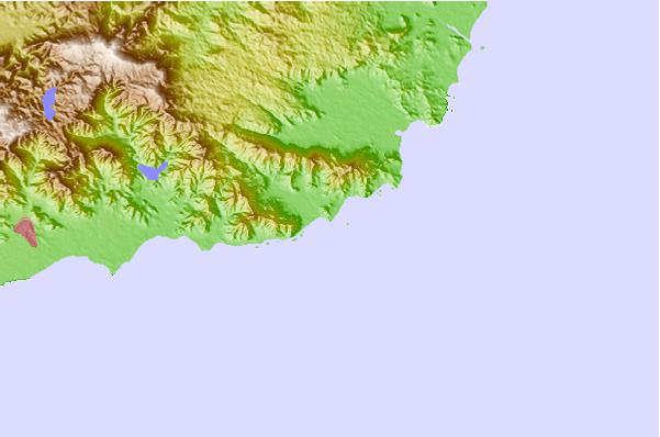
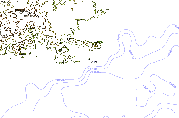
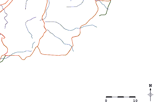
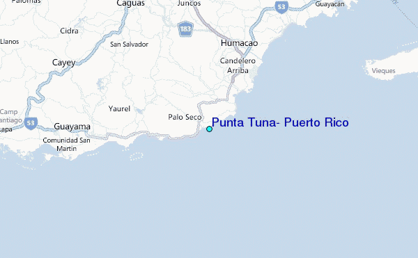
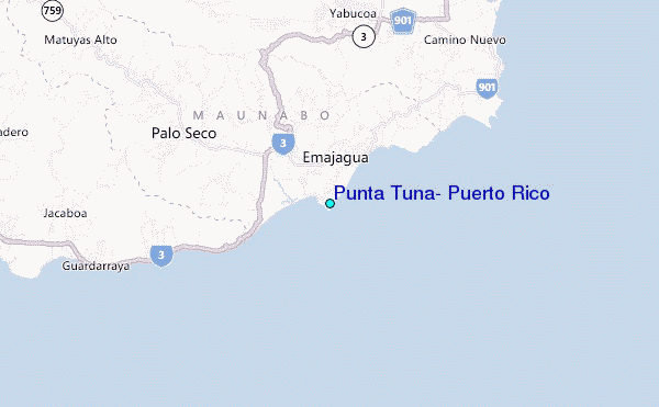
Use this relief map to navigate to tide stations, surf breaks and cities that are in the area of Punta Tuna, Puerto Rico.
Other Nearby Locations' tide tables and tide charts to Punta Tuna, Puerto Rico:
click location name for more details
 Surf breaks close to Punta Tuna, Puerto Rico:
|
||
|---|---|---|
| Closest surf break | Los Bohios | 1 mi |
| Second closest surf break | Sharky (Playa Mario) | 2 mi |
| Third closest surf break | Playa El Cocal | 3 mi |
| Fourth closest surf break | Inches | 5 mi |
| Fifth closest surf break | The Search | 8 mi |

 Nearest
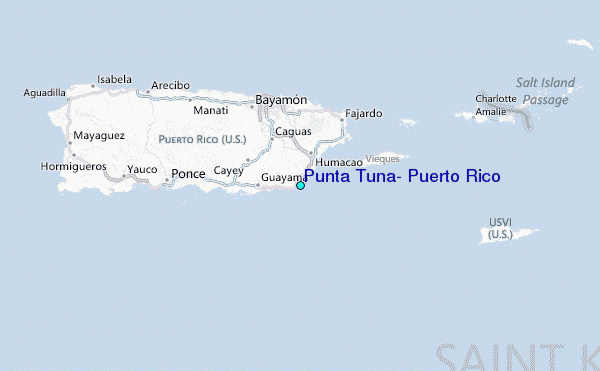