
| Distance / Altitude | Location | Report Date / Time | Live Weather | Wind | Gusts | Temp. | Visibility | Cloud |
|---|---|---|---|---|---|---|---|---|
| 45 km S / 217 m | King Fahd International Airport (Saudi Arabia) | 2024-04-20 07:00 local (2024/04/20 04:00 GMT) | - | calm (4 km/h at 1) | — | 0.0 | ||
| 47 km S / 12 m | K.f.i.a.(KingFahad Int. Airport) Dammam (Saudi Arabia) | 2024-04-20 06:00 local (2024/04/20 03:00 GMT) | Haze | calm (0 km/h at 0) | 22°C | 28 km | clear | |
| 70 km SSE / 213 m | Dhahran International Airport (Saudi Arabia) | 2024-04-20 07:00 local (2024/04/20 04:00 GMT) | - | light winds from the WSW (7 km/h at 240) | — | 0.0 | ||
| 95 km S / 1 m | Zabnah Kite Lagoon (Saudi Arabia) | 2024-04-20 08:00 local (2024/04/20 05:00 GMT) | - | light winds from the SSW (17 km/h at 196) | 30°C | - | - - 0 | |
| 99 km SE / 216 m | Bahrain International Airport (Bahrain) | 2024-04-20 07:30 local (2024/04/20 04:30 GMT) | Dry and partly cloudy | calm (4 km/h at 1) | — | 0.0 | no significant cloud few - |
| Contours: | Roads & Rivers: | Select a
tide station / surf break / city |
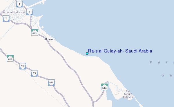
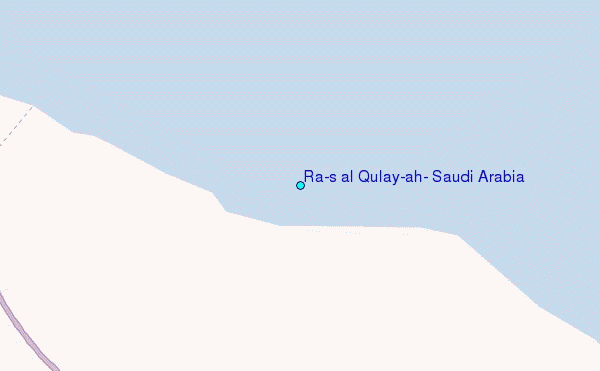
Use this relief map to navigate to tide stations, surf breaks and cities that are in the area of Ra's al Qulay`ah, Saudi Arabia.
Other Nearby Locations' tide tables and tide charts to Ra's al Qulay`ah, Saudi Arabia:
click location name for more details
 Surf breaks close to Ra's al Qulay`ah, Saudi Arabia:
|
||
|---|---|---|
| Closest surf break | Mangaf | 188 mi |
| Second closest surf break | Jebal Ali Lefts | 341 mi |
| Third closest surf break | Jumeirah Beach | 350 mi |
| Fourth closest surf break | Al Hamra - Ras Al Khema | 373 mi |
| Fifth closest surf break | Tim's Reef | 412 mi |

 Nearest
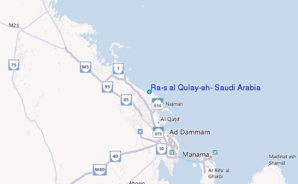