
| Distance / Altitude | Location | Report Date / Time | Live Weather | Wind | Gusts | Temp. | Visibility | Cloud |
|---|---|---|---|---|---|---|---|---|
| 106 km ESE / 14 m | Cartwright (Canada) | 2024-04-25 12:30 local (2024/04/25 15:00 GMT) | Continuous light snow | light winds from the NW (17 km/h at 310) | -1°C | 2.0 km | - overcast - | |
| 107 km ESE / 12 m | Cartwright Airport (Newfoundland) | 2024-04-25 12:30 local (2024/04/25 15:00 GMT) | - | light winds from the NW (13 km/h at 310) | — | 0.0 | few | |
| 109 km NW / 345 m | Makkovik Airport (Newfoundland) | 2024-04-25 12:30 local (2024/04/25 15:00 GMT) | Light snow | fresh winds from the NW (33 km/h at 310) | — | 2 | ||
| 161 km SSW / 1 m | GooseUa-Nfld (Canada) | 2024-04-25 12:30 local (2024/04/25 15:00 GMT) | Light snow showers | light winds from the N (17 km/h at 350) | -4°C | 1.2 km | - overcast - | |
| 162 km SSW / 216 m | Goose Bay Airport (Newfoundland) | 2024-04-25 12:56 local (2024/04/25 15:26 GMT) | Light snow | moderate winds from the N (28 km/h at 360) | — | 0.0 | broken overcast broken |
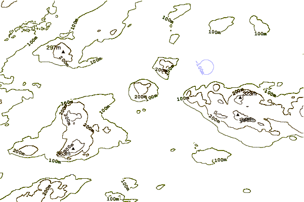
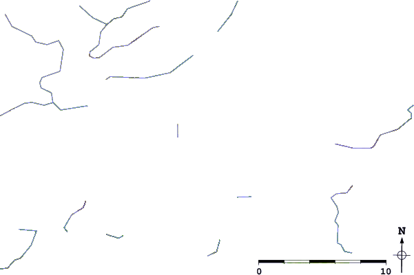
| Contours: | Roads & Rivers: | Select a
tide station / surf break / city |
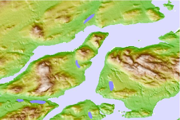
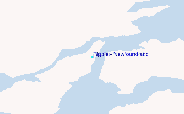
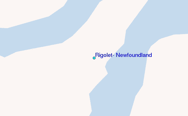
Use this relief map to navigate to tide stations, surf breaks and cities that are in the area of Rigolet, Newfoundland.
Other Nearby Locations' tide tables and tide charts to Rigolet, Newfoundland:
click location name for more details
 Surf breaks close to Rigolet, Newfoundland:
|
||
|---|---|---|
| Closest surf break | Ingonish Beach | 529 mi |
| Second closest surf break | Kennington Cove | 579 mi |
| Third closest surf break | Michaud Point | 604 mi |
| Fourth closest surf break | Martinique | 690 mi |
| Fifth closest surf break | Lawrencetown Reef | 695 mi |

 Nearest
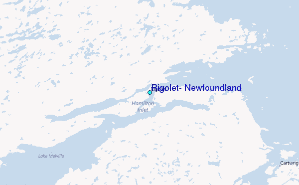