
| Distance / Altitude | Location | Report Date / Time | Live Weather | Wind | Gusts | Temp. | Visibility | Cloud |
|---|---|---|---|---|---|---|---|---|
| 4 km S / 78 m | Riohacha/Almirante Padilla Airport (Columbia) | 2026-06-08 21:00 local (2026/06/09 02:00 GMT) | - | light winds from the E (17 km/h at 100) | — | 10.0 | few | |
| 79 km WSW / 0 m | lightning 49km NW of Dibulla (Colombia) | 2026-06-08 20:15 local (2026/06/09 01:15 GMT) | Thunderstorm | (- km/h at -) | — | |||
| 131 km S / 95 m | Valledupar/Aeropuerto Alfonso López Pumarejo Airport (Columbia) | 2026-06-08 21:00 local (2026/06/09 02:00 GMT) | Dry and partly cloudy | calm (2 km/h at 1) | 27°C | 10.0 | scattered | |
| 150 km SW / 96 m | Santa Marta/Simón Bolívar International Airport (Columbia) | 2026-06-08 21:00 local (2026/06/09 02:00 GMT) | Dry and partly cloudy | calm (4 km/h at 1) | 27°C | 10.0 | broken | |
| 178 km NE / 3 m | SHIP4024 (Marine) | 2026-06-08 21:00 local (2026/06/09 02:00 GMT) | - (- km/h at -) | 26°C | - | |||
| 177 km NE / 3 m | SHIP2816 (Marine) | 2026-06-08 21:00 local (2026/06/09 02:00 GMT) | - (- km/h at -) | 26°C | - | |||
| 177 km NE / 15 m | SHIP6990 (Marine) | 2026-06-08 21:00 local (2026/06/09 02:00 GMT) | - (- km/h at -) | — | - km | |||
| 177 km NE / 15 m | SHIP7434 (Marine) | 2026-06-08 21:00 local (2026/06/09 02:00 GMT) | - (- km/h at -) | — | - km | |||
| 177 km NE / 3 m | SHIP1658 (Marine) | 2026-06-08 21:00 local (2026/06/09 02:00 GMT) | - (- km/h at -) | 26°C | - | |||
| 177 km NE / 15 m | SHIP3094 (Marine) | 2026-06-08 21:00 local (2026/06/09 02:00 GMT) | - (- km/h at -) | — | - km |
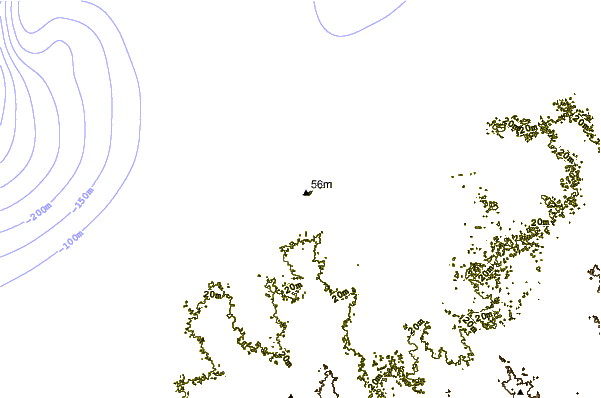
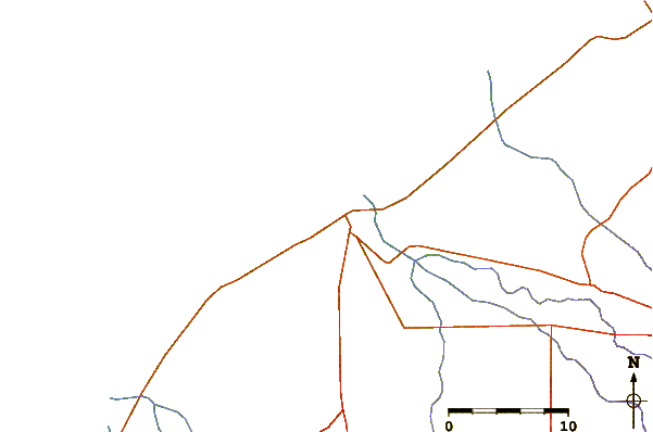
| Contours: | Roads & Rivers: | Select a
tide station / surf break / city |
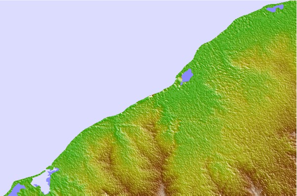
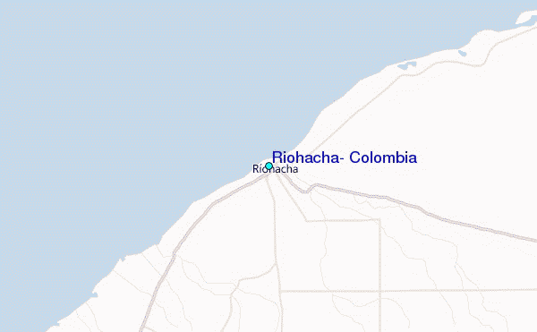
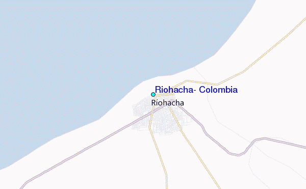
Use this relief map to navigate to tide stations, surf breaks and cities that are in the area of Riohacha, Colombia.
Other Nearby Locations' tide tables and tide charts to Riohacha, Colombia:
click location name for more details
 Surf breaks close to Riohacha, Colombia:
|
||
|---|---|---|
| Closest surf break | Palomino | 48 mi |
| Second closest surf break | Las Gaviotas | 48 mi |
| Third closest surf break | Viento Fresco | 57 mi |
| Fourth closest surf break | Buritaca | 62 mi |
| Fifth closest surf break | Costeño Beach | 66 mi |


 Nearest
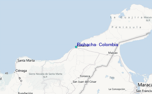