
| Distance / Altitude | Location | Report Date / Time | Live Weather | Wind | Gusts | Temp. | Visibility | Cloud |
|---|---|---|---|---|---|---|---|---|
| 68 km NE / 210 m | Hall Beach Airport (N.w. Territories) | 2026-06-09 16:00 local (2026/06/09 20:00 GMT) | Dry and partly cloudy | light winds from the E (9 km/h at 90) | 1°C | 16 | few broken | |
| 69 km NE / 5 m | Hall Beach (Canada) | 2026-06-09 17:00 local (2026/06/09 21:00 GMT) | no report | wind obs. (22 kph from 300 degs) was rejected (- km/h at -) | 1°C | 31 km | - clear - | |
| 111 km NNE / 274 m | Igloolik Airport (N.w. Territories) | 2026-06-09 16:00 local (2026/06/09 20:00 GMT) | Dry and partly cloudy | light winds from the SE (11 km/h at 130) | 1°C | 24 | broken | |
| 263 km SSW / 297 m | Repulse Bay Airport (N.w. Territories) | 2026-06-09 16:00 local (2026/06/09 20:00 GMT) | Dry and partly cloudy | wind obs. (17 kph from 180 degs) was rejected (- km/h at -) | 5°C | 24 | broken | |
| 294 km WSW / 17 m | Kugaaruk Climate (Canada) | 2026-06-09 17:00 local (2026/06/09 21:00 GMT) | no report | wind obs. (7 kph from 10 degs) was rejected (- km/h at -) | 2°C | - | - no observation - | |
| 295 km WSW / 325 m | Pelly Bay Airport (N.w. Territories) | 2026-06-09 16:00 local (2026/06/09 20:00 GMT) | Dry and partly cloudy | strong winds from the ESE (46 km/h at 120) | 5°C | 24 | broken | |
| 409 km SSW / 18 m | Wager Bay (Nunavut) | 2026-06-09 16:00 local (2026/06/09 20:00 GMT) | - | strong winds from the E (43 km/h at 80) | 6°C | 0.0 | ||
| 455 km W / 191 m | Spence Bay Airport (N.w. Territories) | 2026-06-09 16:00 local (2026/06/09 20:00 GMT) | Dry and partly cloudy | light winds from the E (15 km/h at 100) | 7°C | 24 | broken | |
| 456 km W / 27 m | Taloyoak (Canada) | 2026-06-09 17:00 local (2026/06/09 21:00 GMT) | - | light winds from the E (11 km/h at 100) | 7°C | 44 km | - scattered - | |
| 471 km S / 215 m | Coral Harbour Airport (N.w. Territories) | 2026-06-09 16:00 local (2026/06/09 20:00 GMT) | Dry and cloudy | fresh winds from the E (35 km/h at 90) | 6°C | 24 | overcast |
| Contours: | Roads & Rivers: | Select a
tide station / surf break / city |
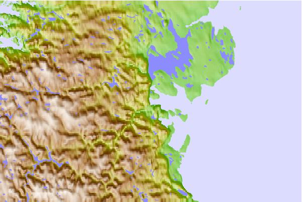
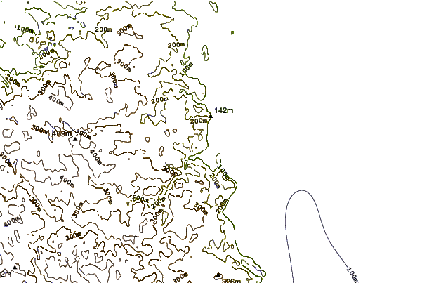
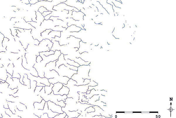
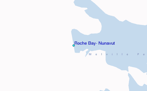
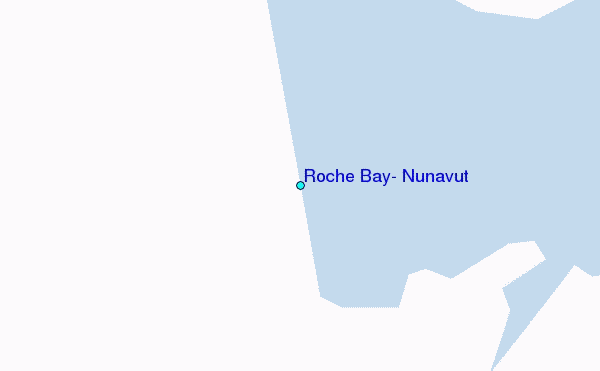
Use this relief map to navigate to tide stations, surf breaks and cities that are in the area of Roche Bay, Nunavut.
Other Nearby Locations' tide tables and tide charts to Roche Bay, Nunavut:
click location name for more details
 Surf breaks close to Roche Bay, Nunavut:
|
||
|---|---|---|
| Closest surf break | Marathon | 1367 mi |
| Second closest surf break | Keweenaw Peninsula | 1462 mi |
| Third closest surf break | Alona Bay | 1471 mi |
| Fourth closest surf break | Apostle Islands | 1501 mi |
| Fifth closest surf break | Ontonagon | 1507 mi |


 Nearest
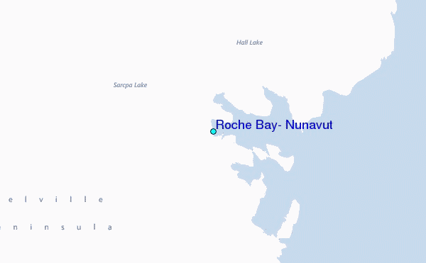