
| Distance / Altitude | Location | Report Date / Time | Live Weather | Wind | Gusts | Temp. | Visibility | Cloud |
|---|---|---|---|---|---|---|---|---|
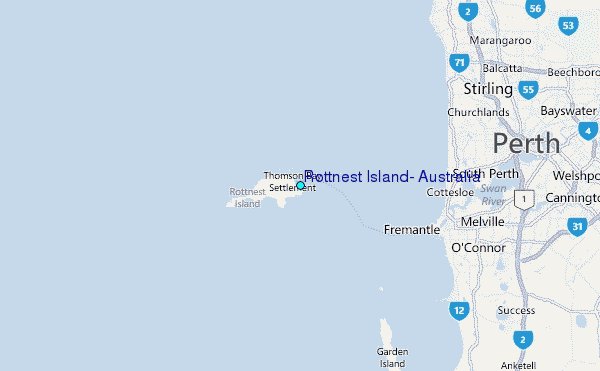
| 5 km WSW / 43 m | Rottnest Island Lighthouse (Australia) | 2024-04-25 21:00 local (2024/04/25 13:00 GMT) | no report | light winds from the E (19 km/h at 80) | 19°C | - | - no observation - | |
| 14 km E / 3 m | SHIP12339 (Marine) | 2024-04-25 20:00 local (2024/04/25 12:00 GMT) | - (- km/h at -) | 19°C | - | |||
| 20 km ENE / 240 m | Swanbourne Automatic Weather Station (Australia) | 2024-04-25 21:00 local (2024/04/25 13:00 GMT) | No report | light winds from the E (13 km/h at 100) | 19°C | - | - no observation - | |
| 25 km ENE / 18 m | Woodlands wx (Australia) | 2024-04-25 21:02 local (2024/04/25 13:02 GMT) | - | light winds from the ESE (13 km/h at 103) | 18°C | - | - - 0 | |
| 26 km NE / 0 m | HillarysBoatHarbour Ntc Aws (Australia) | 2024-04-25 21:00 local (2024/04/25 13:00 GMT) | no report | light winds from the E (7 km/h at 90) | 19°C | - | - no observation - |
| Contours: | Roads & Rivers: | Select a
tide station / surf break / city |
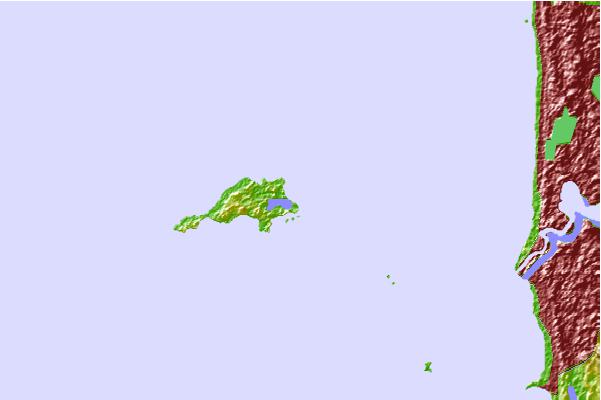
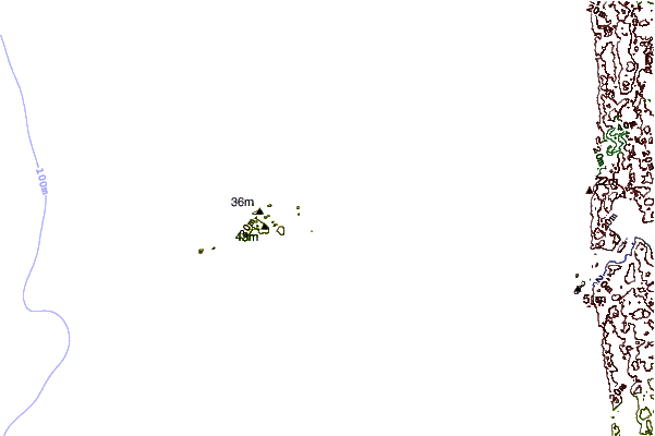
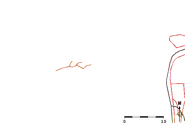
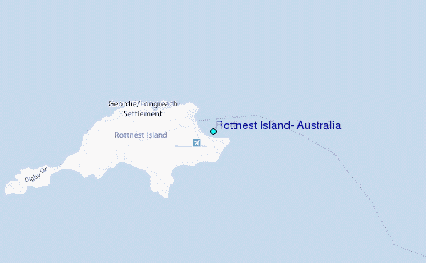
Use this relief map to navigate to tide stations, surf breaks and cities that are in the area of Rottnest Island, Australia.
Other Nearby Locations' tide tables and tide charts to Rottnest Island, Australia:
click location name for more details
 Surf breaks close to Rottnest Island, Australia:
|
||
|---|---|---|
| Closest surf break | Chicken Reef | 2 mi |
| Second closest surf break | Salmon Point | 2 mi |
| Third closest surf break | Stark Bay | 4 mi |
| Fourth closest surf break | Strickland Bay | 4 mi |
| Fifth closest surf break | Radar Reef | 6 mi |

 Nearest
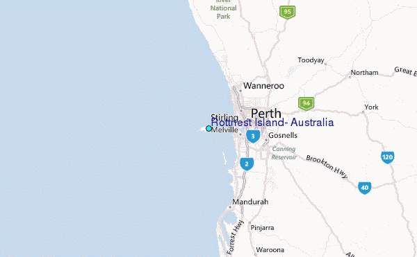