
| Distance / Altitude | Location | Report Date / Time | Live Weather | Wind | Gusts | Temp. | Visibility | Cloud |
|---|---|---|---|---|---|---|---|---|
| 3 km N / 88 m | Sachs Harbour (Canada) | 2024-04-19 14:00 local (2024/04/19 21:00 GMT) | - | moderate winds from the NNE (22 km/h at 30) | -11°C | - | - no observation - | |
| 4 km N / 199 m | Sachs Harbour Airport (N.w. Territories) | 2024-04-19 14:00 local (2024/04/19 21:00 GMT) | Dry and partly cloudy | moderate winds from the E (28 km/h at 90) | -11°C | 24 | scattered | |
| 237 km NE / 42 m | ThomsenRiver-Nwt (Canada) | 2024-04-19 14:00 local (2024/04/19 21:00 GMT) | - | calm (0 km/h at 0) | -15°C | - | no observation | |
| 295 km S / 6 m | Paulatuk-Nwt (Canada) | 2024-04-19 14:00 local (2024/04/19 21:00 GMT) | - | light winds from the W (7 km/h at 260) | -5°C | - | - no observation - | |
| 297 km S / 278 m | Paulatuk Airport (N.w. Territories) | 2024-04-19 14:00 local (2024/04/19 21:00 GMT) | Dry and partly cloudy | light winds from the W (9 km/h at 280) | -5°C | 24 | scattered broken |
| Contours: | Roads & Rivers: | Select a
tide station / surf break / city |
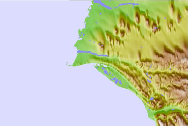
Use this relief map to navigate to tide stations, surf breaks and cities that are in the area of Sachs Harbour, Nunavut/NWT.
Other Nearby Locations' tide tables and tide charts to Sachs Harbour, Nunavut/NWT:
click location name for more details
 Surf breaks close to Sachs Harbour, Nunavut/NWT:
|
||
|---|---|---|
| Closest surf break | Graveyards | 947 mi |
| Second closest surf break | Ocean Cape | 948 mi |
| Third closest surf break | Cannon Beach | 949 mi |
| Fourth closest surf break | Bird Point (Tidal Bore) | 1047 mi |
| Fifth closest surf break | Termination Point | 1237 mi |

 Nearest