
| Distance / Altitude | Location | Report Date / Time | Live Weather | Wind | Gusts | Temp. | Visibility | Cloud |
|---|---|---|---|---|---|---|---|---|
| 1 km ESE / 1 m | Gustavia wx (Saint Barthelemy) | 2026-06-09 00:02 local (2026/06/09 04:02 GMT) | dry | light winds from the ESE (10 km/h at 103) | — | - | - - 0 | |
| 2 km NW / 5 m | Saint Barthelemy (Saint Barthélemy) | 2026-06-09 01:19 local (2026/06/09 05:19 GMT) | dry | calm (2 km/h at 77) | 27°C | - | - - 0 | |
| 2 km NW / 1 m | Colombier wx (Saint Barthelemy) | 2026-06-09 01:47 local (2026/06/09 05:47 GMT) | dry | wind obs. (10 kph from 263 degs) was rejected (- km/h at -) | 26°C | - | - - 0 | |
| 27 km WNW / 4 m | Wind-adventures.com (Saint Martin) | 2026-06-09 01:00 local (2026/06/09 05:00 GMT) | - | moderate winds from the ESE (26 km/h at 107) | 27°C | - | - - 0 | |
| 33 km W / 186 m | St Maarten Juliana Airport (Virgin Islands) | 2026-06-09 00:00 local (2026/06/09 04:00 GMT) | - | light winds from the E (9 km/h at 100) | 27°C | 10.0 | few | |
| 42 km SE / 15 m | SHIP5764 (Marine) | 2026-06-09 00:00 local (2026/06/09 04:00 GMT) | - (- km/h at -) | — | - km | |||
| 42 km SE / 3 m | SHIP8747 (Marine) | 2026-06-09 00:00 local (2026/06/09 04:00 GMT) | - (- km/h at -) | — | - | |||
| 42 km SE / 3 m | SHIP2899 (Marine) | 2026-06-09 00:00 local (2026/06/09 04:00 GMT) | - (- km/h at -) | — | - | |||
| 42 km SE / 15 m | SHIP6603 (Marine) | 2026-06-09 00:00 local (2026/06/09 04:00 GMT) | - (- km/h at -) | — | - km | |||
| 42 km SE / 15 m | SHIP9254 (Marine) | 2026-06-09 00:00 local (2026/06/09 04:00 GMT) | - (- km/h at -) | — | - km |
| Contours: | Roads & Rivers: | Select a
tide station / surf break / city |

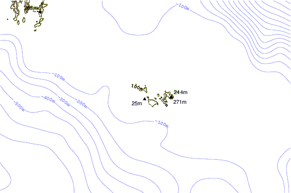
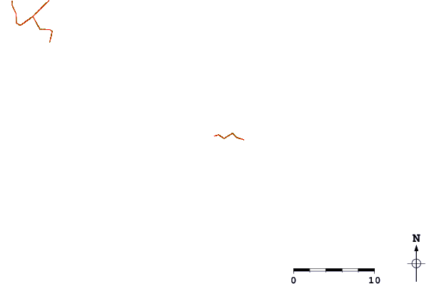
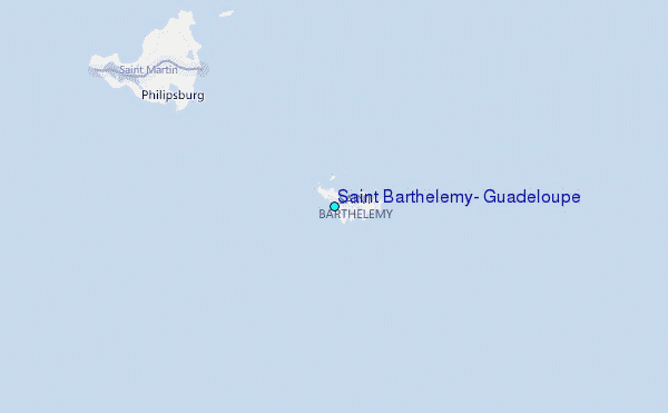
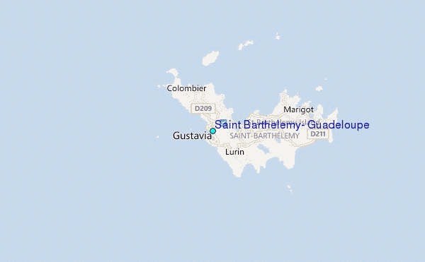
Use this relief map to navigate to tide stations, surf breaks and cities that are in the area of Saint Barthelemy, Guadeloupe.
Other Nearby Locations' tide tables and tide charts to Saint Barthelemy, Guadeloupe:
click location name for more details
 Surf breaks close to Saint Barthelemy, Guadeloupe:
|
||
|---|---|---|
| Closest surf break | Airpot Left | 1 mi |
| Second closest surf break | St-Jean | 1 mi |
| Third closest surf break | Anse des Cayes | 1 mi |
| Fourth closest surf break | Anse des Lezards | 1 mi |
| Fifth closest surf break | le Bec a Cheri | 1 mi |


 Nearest
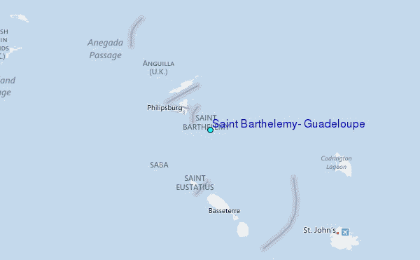