
| Distance / Altitude | Location | Report Date / Time | Live Weather | Wind | Gusts | Temp. | Visibility | Cloud |
|---|---|---|---|---|---|---|---|---|
| 3 km WSW / 334 m | Linnton wx (United States) | 2024-04-18 13:28 local (2024/04/18 20:28 GMT) | dry | calm (0 km/h at 221) | 19°C | - | - - 0 | |
| 3 km E / 62 m | University Park wx (United States) | 2024-04-18 14:08 local (2024/04/18 21:08 GMT) | dry | calm (0 km/h at ) | 21°C | - | - - 0 | |
| 4 km S / 309 m | Bonny Slope wx (United States) | 2024-04-18 13:35 local (2024/04/18 20:35 GMT) | dry | calm (2 km/h at 58) | 18°C | - | - - 0 | |
| 5 km W / 297 m | Portland (Oregon) | 2024-04-18 14:18 local (2024/04/18 21:18 GMT) | dry | calm (3 km/h at 68) | 17°C | - | - - 0 | |
| 6 km SW / 115 m | Bethany wx (United States) | 2024-04-18 14:11 local (2024/04/18 21:11 GMT) | dry | calm (5 km/h at 70) | 21°C | - | - - 0 |
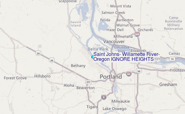
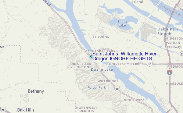
Choose Saint Johns, Willamette River, Oregon IGNORE HEIGHTS Location Map Zoom:
| Contours: | Roads & Rivers: | Select a
tide station / surf break / city |
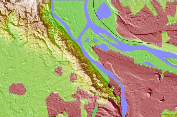
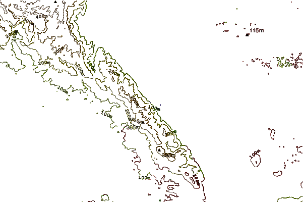
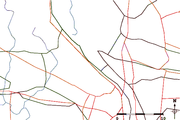
Use this relief map to navigate to tide stations, surf breaks and cities that are in the area of Saint Johns, Willamette River, Oregon IGNORE HEIGHTS.
Other Nearby Locations' tide tables and tide charts to Saint Johns, Willamette River, Oregon IGNORE HEIGHTS:
click location name for more details
 Surf breaks close to Saint Johns, Willamette River, Oregon IGNORE HEIGHTS:
|
||
|---|---|---|
| Closest surf break | Manzanita | 57 mi |
| Second closest surf break | Rockaway | 57 mi |
| Third closest surf break | Barview Jetty | 58 mi |
| Fourth closest surf break | Neakahine Point | 58 mi |
| Fifth closest surf break | Smugglers Cove | 59 mi |

 Nearest
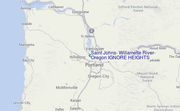