
| Distance / Altitude | Location | Report Date / Time | Live Weather | Wind | Gusts | Temp. | Visibility | Cloud |
|---|---|---|---|---|---|---|---|---|
| 59 km ESE / 2 m | Cap-haitien Airport (Haiti) | 2024-04-19 17:59 local (2024/04/19 21:59 GMT) | Dry and partly cloudy | moderate winds from the NNE (20 km/h at 30) | 27°C | 9.0 | scattered | |
| 159 km SSE / 256 m | Port-Au-prince Airport (Haiti) | 2024-04-19 17:00 local (2024/04/19 21:00 GMT) | Dry and partly cloudy | moderate winds from the NW (26 km/h at 320) | — | 9.0 | scattered | |
| 162 km W / 15 m | SHIP4887 (Marine) | 2024-04-19 16:00 local (2024/04/19 20:00 GMT) | - (- km/h at -) | — | - km | |||
| 180 km ESE / 64 m | Mao (Dominican Republic) | 2024-04-19 17:34 local (2024/04/19 21:34 GMT) | dry | light winds from the NE (8 km/h at 40) | 28°C | - | - - 0 | |
| 209 km NNE / 296 m | Providenciales Airport (Bahamas) | 2024-04-19 17:00 local (2024/04/19 21:00 GMT) | Dry and partly cloudy | light winds from the ENE (19 km/h at 60) | 26°C | 10.0 | scattered |
| Contours: | Roads & Rivers: | Select a
tide station / surf break / city |
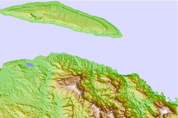
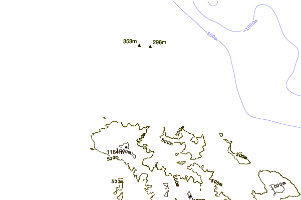
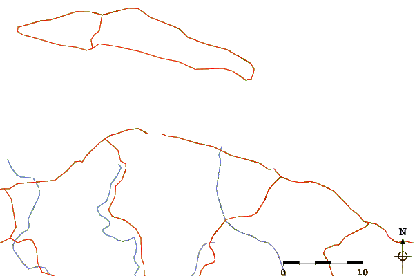
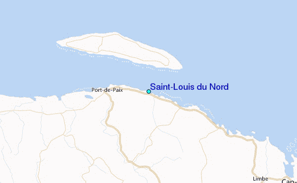
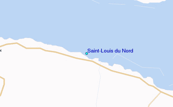
Use this relief map to navigate to tide stations, surf breaks and cities that are in the area of Saint-Louis du Nord.
Other Nearby Locations' tide tables and tide charts to Saint-Louis du Nord:
click location name for more details
 Surf breaks close to Saint-Louis du Nord:
|
||
|---|---|---|
| Closest surf break | Jacmel | 119 mi |
| Second closest surf break | Tea Break | 128 mi |
| Third closest surf break | Coffee Break | 132 mi |
| Fourth closest surf break | La Puntilla (Puerto Plata) | 132 mi |
| Fifth closest surf break | Grace Bay Cut (Providenciales) | 133 mi |

 Nearest
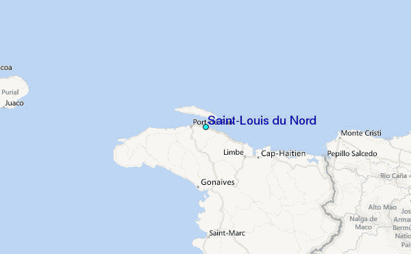