
| Distance / Altitude | Location | Report Date / Time | Live Weather | Wind | Gusts | Temp. | Visibility | Cloud |
|---|---|---|---|---|---|---|---|---|
| 11 km NW / 22 m | Blanchet wx (Guadeloupe) | 2024-04-23 19:37 local (2024/04/23 23:37 GMT) | - | calm (0 km/h at 50) | 26°C | - | - - 0 | |
| 16 km W / 8 m | LERaizetAero (France) | 2024-04-23 17:00 local (2024/04/23 21:00 GMT) | Clear skies | moderate winds from the ESE (26 km/h at 120) | 29°C | 41 km | no observation | |
| 18 km W / 215 m | Le Raizet Airport (Lesser Antilles) | 2024-04-23 18:30 local (2024/04/23 22:30 GMT) | Dry and cloudy | light winds from the ESE (17 km/h at 120) | 28°C | 10.0 | few broken overcast | |
| 78 km S / 16 m | Melville Hall AR Airport (Dominica) | 2024-04-23 17:00 local (2024/04/23 21:00 GMT) | Widespread dust in suspension not raised by wind | light winds from the SE (13 km/h at 130) | 29°C | 44 km | - scattered - | |
| 80 km S / 339 m | Melville Hall AR Airport (Dominican Republic) | 2024-04-23 18:00 local (2024/04/23 22:00 GMT) | Shower light rain shower | light winds from the ESE (9 km/h at 120) | 28°C | 10.0 | scattered |
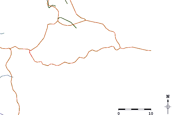
| Contours: | Roads & Rivers: | Select a
tide station / surf break / city |
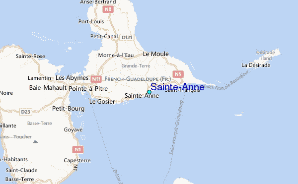
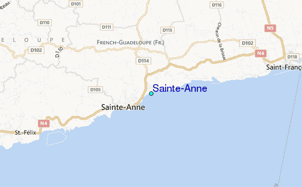
Use this relief map to navigate to tide stations, surf breaks and cities that are in the area of Sainte-Anne.
Other Nearby Locations' tide tables and tide charts to Sainte-Anne:
click location name for more details
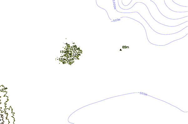
 Surf breaks close to Sainte-Anne:
|
||
|---|---|---|
| Closest surf break | La Caravelle | 0 mi |
| Second closest surf break | Caravelle | 2 mi |
| Third closest surf break | Anse A La Barque | 3 mi |
| Fourth closest surf break | Petit Havre | 5 mi |
| Fifth closest surf break | Port Francois Harbour | 6 mi |

 Nearest
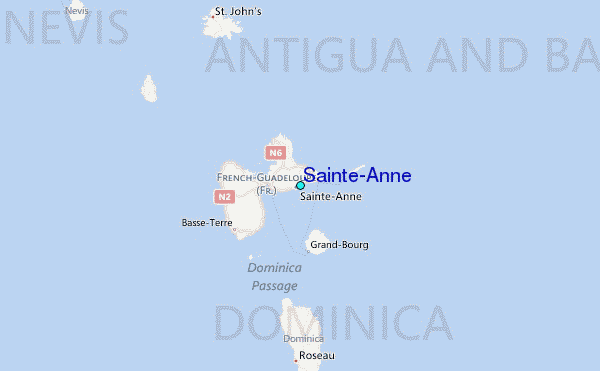