
| Distance / Altitude | Location | Report Date / Time | Live Weather | Wind | Gusts | Temp. | Visibility | Cloud |
|---|---|---|---|---|---|---|---|---|
| 21 km ENE / 0 m | Langebaanweg (South Africa) | 2024-04-20 07:00 local (2024/04/20 05:00 GMT) | - | calm (4 km/h at 360) | 13°C | - | - no observation - | |
| 23 km NW / 55 m | CapeColumbine (South Africa) | 2024-04-20 07:00 local (2024/04/20 05:00 GMT) | - | light winds from the NNE (6 km/h at 20) | 12°C | - | no observation | |
| 26 km SE / 7 m | Geelbek (South Africa) | 2024-04-20 07:00 local (2024/04/20 05:00 GMT) | - | light winds from the NW (9 km/h at 310) | 12°C | - | no observation | |
| 88 km SSE / 53 m | Duynefontein (Zambia) | 2024-04-20 08:02 local (2024/04/20 06:02 GMT) | dry | - (- km/h at ) | 11°C | - | - - 0 | |
| 113 km SSE / 19 m | Observatory wx (South Africa) | 2024-04-20 07:20 local (2024/04/20 05:20 GMT) | dry | calm (3 km/h at 326) | 13°C | - | - - 0 |
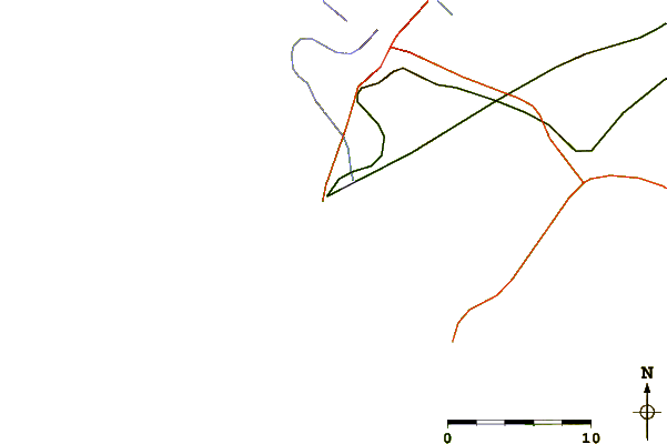
| Contours: | Roads & Rivers: | Select a
tide station / surf break / city |
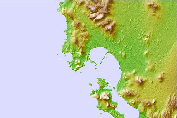
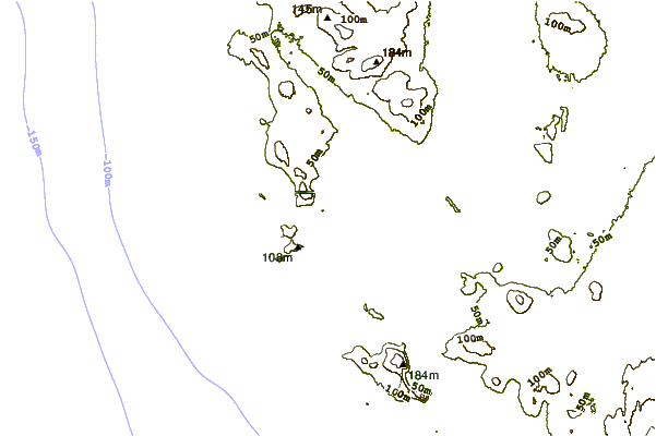
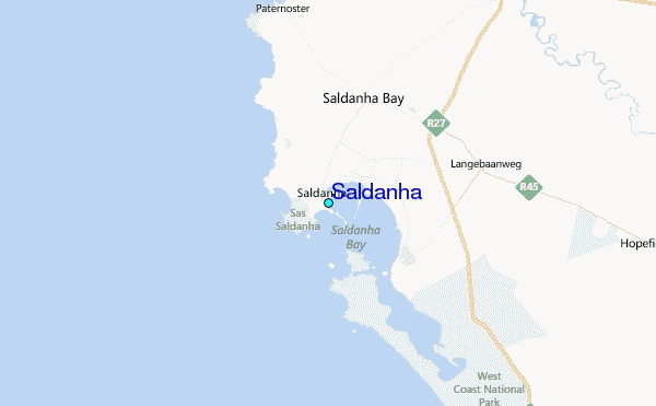
Use this relief map to navigate to tide stations, surf breaks and cities that are in the area of Saldanha.
Other Nearby Locations' tide tables and tide charts to Saldanha:
click location name for more details
 Surf breaks close to Saldanha:
|
||
|---|---|---|
| Closest surf break | Jacobs Bay | 5 mi |
| Second closest surf break | Treskostraal | 15 mi |
| Third closest surf break | Vredenberg Point | 15 mi |
| Fourth closest surf break | Cape St Martin | 21 mi |
| Fifth closest surf break | Heaven | 21 mi |

 Nearest
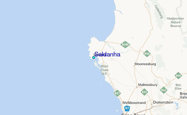