
| Distance / Altitude | Location | Report Date / Time | Live Weather | Wind | Gusts | Temp. | Visibility | Cloud |
|---|---|---|---|---|---|---|---|---|
| 144 km SW / 215 m | Belém/Val de Cães International Airport (Brazil) | 2024-04-16 18:00 local (2024/04/16 21:00 GMT) | Dry and partly cloudy | light winds from the ESE (7 km/h at 110) | 27°C | 10.0 | scattered broken few | |
| 261 km S / 102 m | Paragominas (Brazil) | 2024-04-16 18:00 local (2024/04/16 21:00 GMT) | no report | calm (4 km/h at 20) | 26°C | - | - | |
| 412 km ESE / 53 m | Sao Luiz (Aero) (Brazil) | 2024-04-16 18:00 local (2024/04/16 21:00 GMT) | light to moderate thunderstorm | light winds from the E (6 km/h at 100) | 26°C | 8 | - | |
| 413 km ESE / 216 m | Aeroporto Internacional de São Luís - Marechal (Brazil) | 2024-04-16 18:00 local (2024/04/16 21:00 GMT) | Thunderstorm light rain thunderstorm | light winds from the E (6 km/h at 100) | 26°C | 8.0 | broken few few | |
| 413 km WSW / 215 m | Macapa International Airport (Brazil) | 2024-04-16 18:00 local (2024/04/16 21:00 GMT) | Shower light rain shower | light winds from the ESE (19 km/h at 120) | 30°C | 5.0 | scattered scattered few |

| Contours: | Roads & Rivers: | Select a
tide station / surf break / city |
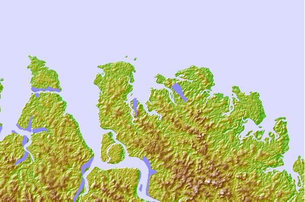
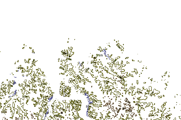
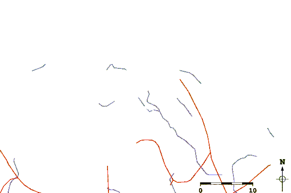
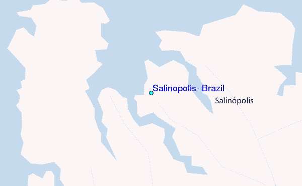
Use this relief map to navigate to tide stations, surf breaks and cities that are in the area of Salinopolis, Brazil.
Other Nearby Locations' tide tables and tide charts to Salinopolis, Brazil:
click location name for more details
 Surf breaks close to Salinopolis, Brazil:
|
||
|---|---|---|
| Closest surf break | Araruna | 76 mi |
| Second closest surf break | Ponta d'Areia | 246 mi |
| Third closest surf break | Ponta do Farol | 247 mi |
| Fourth closest surf break | Praia de Sao Marcos | 247 mi |
| Fifth closest surf break | Praia do Calhau | 249 mi |

 Nearest
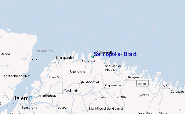