
| Distance / Altitude | Location | Report Date / Time | Live Weather | Wind | Gusts | Temp. | Visibility | Cloud |
|---|---|---|---|---|---|---|---|---|
| 29 km WSW / 0 m | Olongapo/Subic Bay Airport (Philippines) | 2024-04-20 22:00 local (2024/04/20 14:00 GMT) | haze | calm (4 km/h at 1) | 29°C | 10.0 | few - - | |
| 44 km N / 584 m | Angeles/Pampanga Airport (Philippines) | 2024-04-20 22:00 local (2024/04/20 14:00 GMT) | Dry and partly cloudy | calm (4 km/h at 160) | 30°C | 10.0 | few broken | |
| 46 km N / 155 m | Clark AB (Philippines) | 2024-04-20 22:00 local (2024/04/20 14:00 GMT) | haze | calm (4 km/h at 90) | 31°C | 18 | - | |
| 49 km SE / 215 m | Sangley Point (Philippines) | 2024-04-20 22:00 local (2024/04/20 14:00 GMT) | no report | light winds from the E (14 km/h at 90) | 31°C | 10 | - scattered - | |
| 56 km ESE / 39 m | ScienceGarden (Philippines) | 2024-04-20 22:00 local (2024/04/20 14:00 GMT) | haze | calm (4 km/h at 90) | 31°C | 8 | - scattered - |
| Contours: | Roads & Rivers: | Select a
tide station / surf break / city |
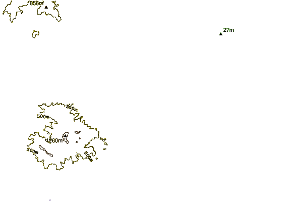
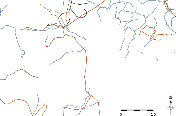
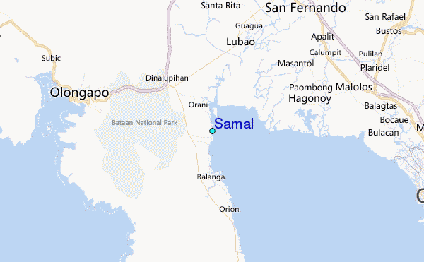
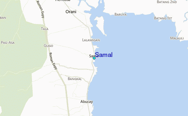
Use this relief map to navigate to tide stations, surf breaks and cities that are in the area of Samal.
Other Nearby Locations' tide tables and tide charts to Samal:
click location name for more details
 Surf breaks close to Samal:
|
||
|---|---|---|
| Closest surf break | Baler - Charlie's Point | 97 mi |
| Second closest surf break | Baler - Lindy's Point | 97 mi |
| Third closest surf break | Baler - Sabang | 97 mi |
| Fourth closest surf break | Cobra Reef - Cemento | 98 mi |
| Fifth closest surf break | Malaking Gasang (Baler) | 106 mi |

 Nearest
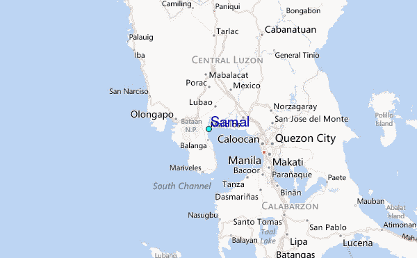