
| Distance / Altitude | Location | Report Date / Time | Live Weather | Wind | Gusts | Temp. | Visibility | Cloud |
|---|---|---|---|---|---|---|---|---|
| 79 km W / 16 m | Puerto Ayora (Ecuador) | 2024-04-25 04:07 local (2024/04/25 10:07 GMT) | dry | calm (0 km/h at 355) | 24°C | - | - - 0 | |
| 996 km E / 190 m | Manta/Eloy Alfaro International Airport (Ecuador) | 2024-04-25 03:00 local (2024/04/25 09:00 GMT) | Dry and cloudy | light winds from the S.(Wind varies from 150 to 220 degs) (11 km/h at 180) | 26°C | 10.0 | overcast broken - | |
| 1092 km E / 6 m | GuayaquilAeropuerto (Ecuador) | 2024-04-25 03:00 local (2024/04/25 09:00 GMT) | Haze | light winds from the SSW (6 km/h at 200) | 24°C | 30 km | - overcast - | |
| 1093 km E / 211 m | Guayaquil/José Joaquín de Olmedo International Airport (Ecuador) | 2024-04-25 03:00 local (2024/04/25 09:00 GMT) | Dry and cloudy | light winds from the SSW (6 km/h at 200) | 24°C | 10.0 | few broken overcast | |
| 1105 km ESE / 12 m | Puerto Pito wx (Ecuador) | 2024-04-25 04:20 local (2024/04/25 10:20 GMT) | dry | calm (3 km/h at 359) | 24°C | - | - - 0 |
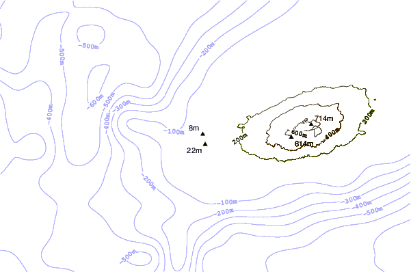
| Contours: | Roads & Rivers: | Select a
tide station / surf break / city |
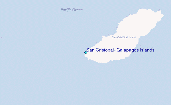
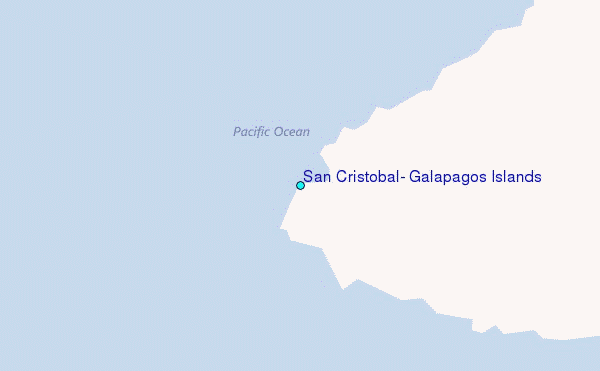
Use this relief map to navigate to tide stations, surf breaks and cities that are in the area of San Cristobal, Galapagos Islands.
Other Nearby Locations' tide tables and tide charts to San Cristobal, Galapagos Islands:
click location name for more details
 Surf breaks close to San Cristobal, Galapagos Islands:
|
||
|---|---|---|
| Closest surf break | Carola | 1 mi |
| Second closest surf break | El Canyon | 1 mi |
| Third closest surf break | Tongo Reef | 1 mi |
| Fourth closest surf break | Loberia | 2 mi |
| Fifth closest surf break | Manglecito | 9 mi |

 Nearest
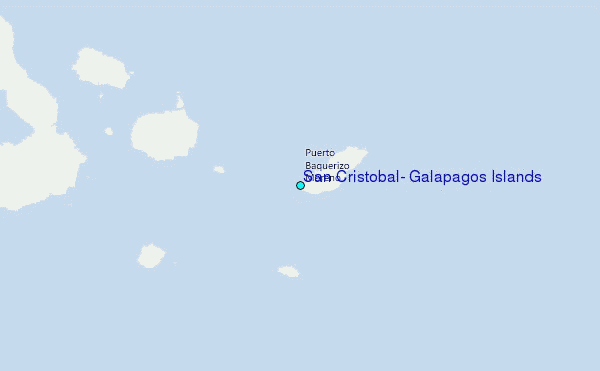