
| Distance / Altitude | Location | Report Date / Time | Live Weather | Wind | Gusts | Temp. | Visibility | Cloud |
|---|---|---|---|---|---|---|---|---|
| 2 km E / 219 m | North Island Naval Air Station Airport (California) | 2026-06-08 18:52 local (2026/06/09 01:52 GMT) | Dry and partly cloudy | light winds from the W (11 km/h at 270) | 19°C | 16 | few broken | |
| 3 km E / 15 m | SHIP7673 (Marine) | 2026-06-08 19:00 local (2026/06/09 02:00 GMT) | light winds from the W (9.360000000000001 km/h at 280) | 20°C | - km | |||
| 6 km E / 3 m | BUOY-SDBC1 (Marine) | 2026-06-08 20:18 local (2026/06/09 03:18 GMT) | - (- km/h at -) | — | - | |||
| 6 km NE / 219 m | San Diego Airport (California) | 2026-06-08 18:51 local (2026/06/09 01:51 GMT) | Dry and partly cloudy | light winds from the NW (7 km/h at 320) | 19°C | 16 | few broken | |
| 16 km NE / 218 m | San Diego/Montgomery Field Airport (California) | 2026-06-08 18:53 local (2026/06/09 01:53 GMT) | Clear | light winds from the WSW (11 km/h at 250) | 19°C | 16 | ||
| 3 km E / 15 m | SHIP7840 (Marine) | 2026-06-08 19:00 local (2026/06/09 02:00 GMT) | light winds from the W (9.360000000000001 km/h at 280) | 20°C | - km | |||
| 3 km E / 3 m | SHIP5327 (Marine) | 2026-06-08 19:00 local (2026/06/09 02:00 GMT) | light winds from the W (9 km/h at 280) | 19°C | - | |||
| 3 km E / 3 m | SHIP6401 (Marine) | 2026-06-08 20:00 local (2026/06/09 03:00 GMT) | calm (5 km/h at 330) | 19°C | - | |||
| 3 km E / - m | SHIP823 (ocean) | 2026-06-08 19:00 local (2026/06/09 02:00 GMT) | No report | light winds from the W (9 km/h at 280) | 19°C | - | no observation | |
| 3 km E / 3 m | SHIP5778 (Marine) | 2026-06-08 19:00 local (2026/06/09 02:00 GMT) | light winds from the W (9 km/h at 280) | 19°C | - |
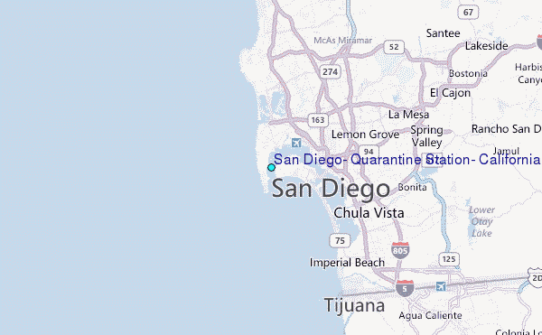
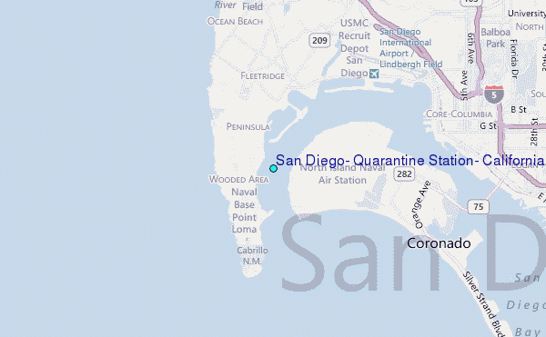
Choose San Diego, Quarantine Station, California Location Map Zoom:
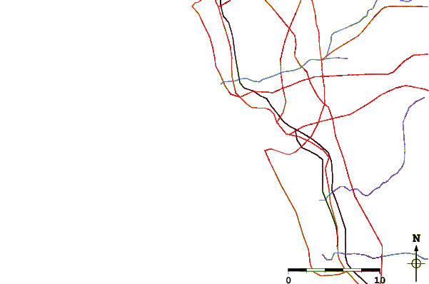
| Contours: | Roads & Rivers: | Select a
tide station / surf break / city |
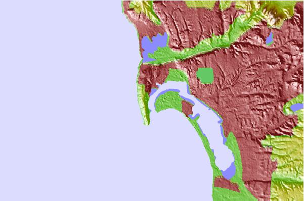
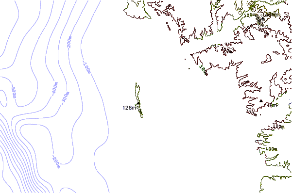
Use this relief map to navigate to tide stations, surf breaks and cities that are in the area of San Diego, Quarantine Station, California.
Other Nearby Locations' tide tables and tide charts to San Diego, Quarantine Station, California:
click location name for more details
 Surf breaks close to San Diego, Quarantine Station, California:
|
||
|---|---|---|
| Closest surf break | Garbage | 2 mi |
| Second closest surf break | Sunset Cliffs | 2 mi |
| Third closest surf break | Bird Shit | 2 mi |
| Fourth closest surf break | Coronado Beaches | 2 mi |
| Fifth closest surf break | Donuts | 2 mi |


 Nearest
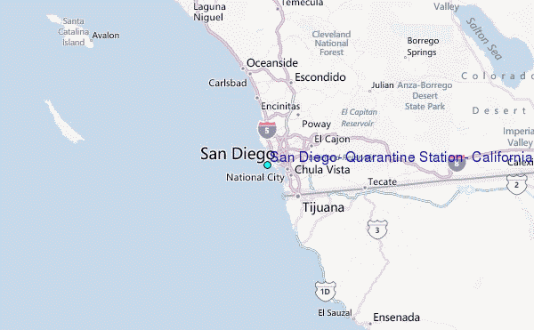