
| Distance / Altitude | Location | Report Date / Time | Live Weather | Wind | Gusts | Temp. | Visibility | Cloud |
|---|---|---|---|---|---|---|---|---|
| 38 km E / 365 m | La Romana International Airport (Dominican Republic) | 2024-04-25 13:05 local (2024/04/25 17:05 GMT) | Thunderstorm heavy rain thunderstorm | calm (0 km/h at 0) | 28°C | 3.0 | few broken broken | |
| 38 km WSW / 18 m | LasAmericas (Dominican Republic) | 2024-04-25 14:00 local (2024/04/25 18:00 GMT) | Nearby precipitation but not falling at station | light winds from the SE (14 km/h at 130) | 30°C | 28 km | mostly cloudy | |
| 38 km WSW / 212 m | Punta Caucedo/Las Americas Airport (Dominican Republic) | 2024-04-25 13:00 local (2024/04/25 17:00 GMT) | Shower - in the vicinity | light winds from the SSE (19 km/h at 150) | 30°C | 8.0 | few scattered | |
| 41 km E / 67 m | La Romana Casa De Campo International Airport (Dominican Republic) | 2024-04-25 14:00 local (2024/04/25 18:00 GMT) | Continuous light rain | calm (0 km/h at 0) | 26°C | 27 km | mostly cloudy | |
| 55 km WSW / 41 m | Ensanche Savica de Mendoza wx (Dominican Republic) | 2024-04-25 14:48 local (2024/04/25 18:48 GMT) | dry | calm (0 km/h at 40) | 26°C | - | - - 0 |
| Contours: | Roads & Rivers: | Select a
tide station / surf break / city |
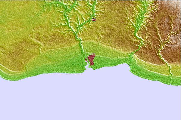
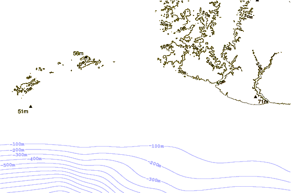
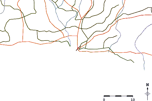
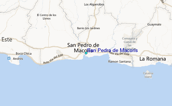
Use this relief map to navigate to tide stations, surf breaks and cities that are in the area of San Pedro de Macoris.
Other Nearby Locations' tide tables and tide charts to San Pedro de Macoris:
click location name for more details
 Surf breaks close to San Pedro de Macoris:
|
||
|---|---|---|
| Closest surf break | De Cameron | 2 mi |
| Second closest surf break | Presidente | 2 mi |
| Third closest surf break | Charittos Beach | 3 mi |
| Fourth closest surf break | Small Cove-Two | 4 mi |
| Fifth closest surf break | Hawaii | 4 mi |

 Nearest
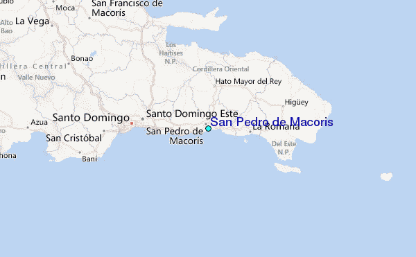