
| Distance / Altitude | Location | Report Date / Time | Live Weather | Wind | Gusts | Temp. | Visibility | Cloud |
|---|---|---|---|---|---|---|---|---|
| 47 km S / 9 m | Honiara/Henderson Airport (Solomon Islands) | 2026-06-09 16:00 local (2026/06/09 05:00 GMT) | continuous light rain | calm (4 km/h at 320) | 28°C | 10.0 | few few broken | |
| 72 km ENE / 11 m | Auki (Solomon Islands) | 2026-06-09 15:00 local (2026/06/09 04:00 GMT) | distant precipitation but not falling at station | calm (4 km/h at 90) | 28°C | 10 | - overcast - | |
| 143 km ESE / 36 m | lightning 109km ESE of Auki (Solomon Islands) | 2026-06-09 14:16 local (2026/06/09 03:16 GMT) | Thunderstorm | (- km/h at -) | — | |||
| 322 km W / 6 m | Munda-New Georgia (Solomon Islands) | 2026-06-09 16:00 local (2026/06/09 05:00 GMT) | distant precipitation but not falling at station | - (- km/h at -) | 25°C | 4000 | - - - | |
| 484 km W / 3 m | Taro Island (Solomon Islands) | 2026-06-09 16:00 local (2026/06/09 05:00 GMT) | distant precipitation but not falling at station | light winds from the SE (11 km/h at 140) | 26°C | 20 | - | |
| 611 km ESE / 0 m | lightning (Solomon Islands) | 2026-06-09 16:33 local (2026/06/09 05:33 GMT) | Thunderstorm | (- km/h at -) | — | |||
| 651 km ESE / 24 m | Santa Cruz Island (Solomon Islands) | 2026-06-09 16:00 local (2026/06/09 05:00 GMT) | light rain showers | light winds from the E (11 km/h at 90) | 26°C | 20 | - overcast - | |
| 1056 km SE / 44 m | PekoaAirport(Santo) (Vanuatu) | 2026-06-09 16:00 local (2026/06/09 05:00 GMT) | State of sky unchanged | moderate winds from the SE (26 km/h at 130) | 27°C | 20 km | - mostly cloudy - | |
| 1056 km SE / 44 m | Santo-Pekoa Airport (Vanuatu) | 2026-06-09 15:00 local (2026/06/09 04:00 GMT) | Dry and partly cloudy | moderate winds from the SE.(Wind varies from 110 to 180 degs) (26 km/h at 140) | 27°C | 10.0 | scattered broken | |
| 1056 km SE / 44 m | Pekoa Airport/Santo (Vanuatu) | 2026-06-09 15:00 local (2026/06/09 04:00 GMT) | Dry and partly cloudy | moderate winds from the SE.(Wind varies from 110 to 180 degs) (26 km/h at 140) | 27°C | 10.0 | scattered broken |
| Contours: | Roads & Rivers: | Select a
tide station / surf break / city |
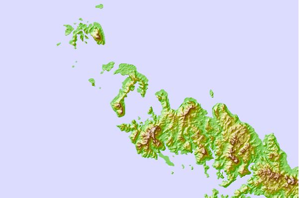
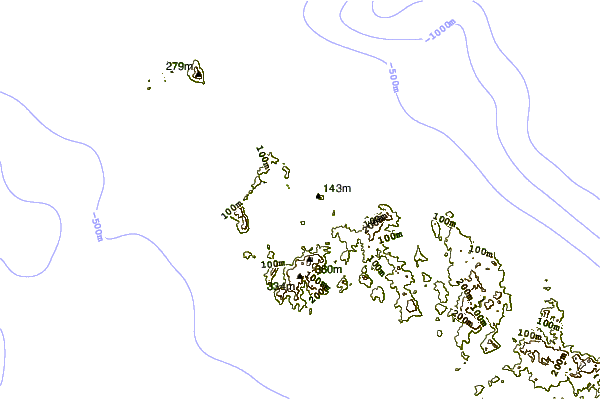
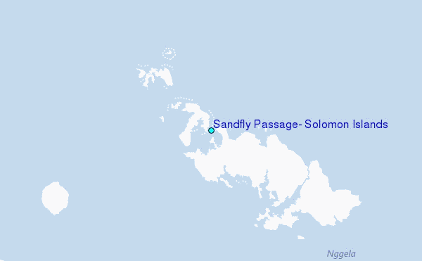
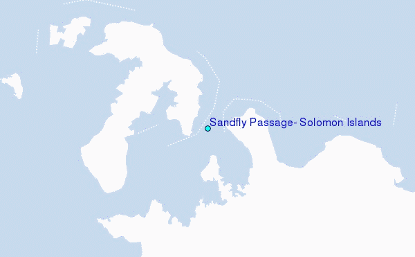
Use this relief map to navigate to tide stations, surf breaks and cities that are in the area of Sandfly Passage, Solomon Islands.
Other Nearby Locations' tide tables and tide charts to Sandfly Passage, Solomon Islands:
click location name for more details
 Surf breaks close to Sandfly Passage, Solomon Islands:
|
||
|---|---|---|
| Closest surf break | Coves | 198 mi |
| Second closest surf break | Kundu Kundu | 202 mi |
| Third closest surf break | Lavata | 203 mi |
| Fourth closest surf break | Mbirimbiri | 205 mi |
| Fifth closest surf break | Skull Island | 207 mi |


 Nearest
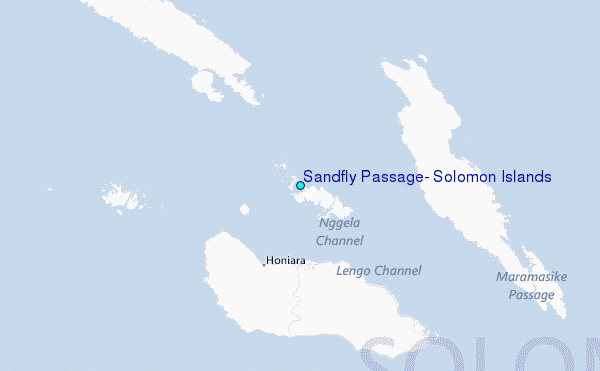