
| Distance / Altitude | Location | Report Date / Time | Live Weather | Wind | Gusts | Temp. | Visibility | Cloud |
|---|---|---|---|---|---|---|---|---|
| 13 km W / 8 m | Salinas/Gen Ulpi Airport (Ecuador) | 2024-04-16 06:00 local (2024/04/16 11:00 GMT) | Dry and partly cloudy | calm (0 km/h at 0) | 25°C | 10.0 | few broken | |
| 111 km E / 211 m | Guayaquil/José Joaquín de Olmedo International Airport (Ecuador) | 2024-04-16 05:00 local (2024/04/16 10:00 GMT) | Dry and partly cloudy | light winds from the SSW (7 km/h at 210) | 26°C | 10.0 | few broken | |
| 143 km N / 190 m | Manta/Eloy Alfaro International Airport (Ecuador) | 2024-04-16 06:00 local (2024/04/16 11:00 GMT) | Dry and partly cloudy | calm (4 km/h at 180) | 25°C | 10.0 | broken - - | |
| 152 km SE / 12 m | Puerto Pito wx (Ecuador) | 2024-04-16 05:47 local (2024/04/16 10:47 GMT) | dry | light winds from the NW (18 km/h at 320) | 27°C | - | - - 0 | |
| 165 km SE / 52 m | Machala Larrea Airport (Ecuador) | 2024-04-16 06:16 local (2024/04/16 11:16 GMT) | Light rain | calm (0 km/h at 0) | 26°C | 10.0 | broken |
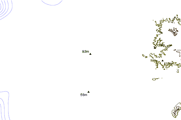
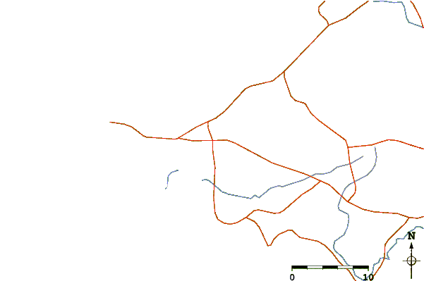
| Contours: | Roads & Rivers: | Select a
tide station / surf break / city |
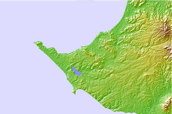
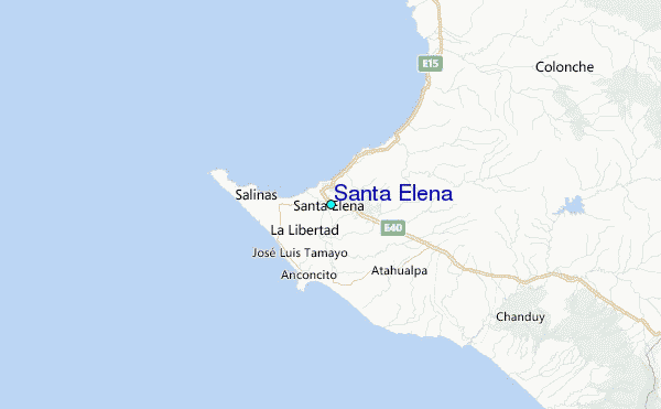
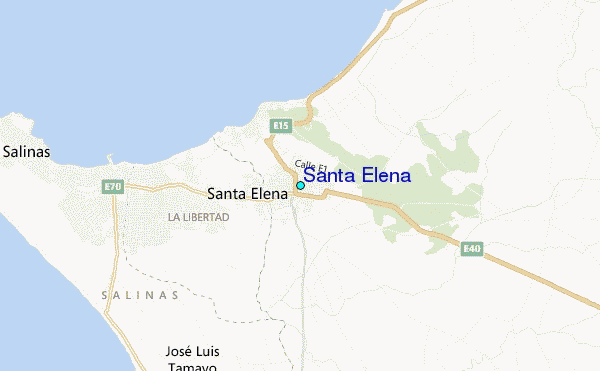
Use this relief map to navigate to tide stations, surf breaks and cities that are in the area of Santa Elena.
Other Nearby Locations' tide tables and tide charts to Santa Elena:
click location name for more details
 Surf breaks close to Santa Elena:
|
||
|---|---|---|
| Closest surf break | Punta Chulluype | 2 mi |
| Second closest surf break | Los Capaes | 2 mi |
| Third closest surf break | Punta Murcielago | 2 mi |
| Fourth closest surf break | Punta San Lorenzo | 4 mi |
| Fifth closest surf break | Punta Barandua | 4 mi |

 Nearest
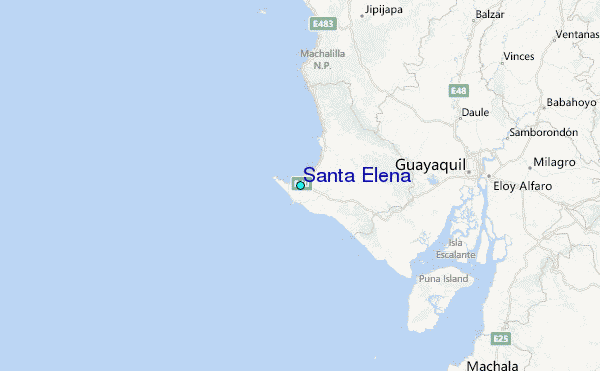