
| Distance / Altitude | Location | Report Date / Time | Live Weather | Wind | Gusts | Temp. | Visibility | Cloud |
|---|---|---|---|---|---|---|---|---|
| 21 km SE / 30 m | Trujillo(84501-0) (Peru) | 2024-04-25 16:00 local (2024/04/25 21:00 GMT) | Fog at a distance | light winds from the SE (17 km/h at 140) | 21°C | 29 km | clear | |
| 28 km ESE / 215 m | Trujillo Airport (Peru) | 2024-04-25 16:00 local (2024/04/25 21:00 GMT) | Fog - in the vicinity | light winds from the SE.(Wind varies from 110 to 170 degs) (17 km/h at 140) | 21°C | 9.0 | no significant cloud | |
| 124 km NE / 2622 m | Cajamarca (Peru) | 2024-04-25 16:00 local (2024/04/25 21:00 GMT) | Distant precipitation but not falling at station | light winds from the N (6 km/h at 10) | 21°C | 30 km | mostly cloudy | |
| 127 km NE / 2934 m | Cajamarca/Major General FAP Armando Revoredo Iglesias Airport (Peru) | 2024-04-25 16:30 local (2024/04/25 21:30 GMT) | Light rain | light winds from the NNE.(Wind varies from 330 to 070 degs) (11 km/h at 30) | 19°C | 10.0 | few broken | |
| 145 km NW / 30 m | Chiclayo (Peru) | 2024-04-25 16:00 local (2024/04/25 21:00 GMT) | State of sky unchanged | fresh winds from the SSW (35 km/h at 200) | 25°C | 30 km | clear |
| Contours: | Roads & Rivers: | Select a
tide station / surf break / city |
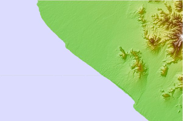
Use this relief map to navigate to tide stations, surf breaks and cities that are in the area of Santiago de Cao.
Other Nearby Locations' tide tables and tide charts to Santiago de Cao:
click location name for more details
 Surf breaks close to Santiago de Cao:
|
||
|---|---|---|
| Closest surf break | El Brujo | 6 mi |
| Second closest surf break | Punta Huanchaco | 12 mi |
| Third closest surf break | Chicama - El Hombre | 22 mi |
| Fourth closest surf break | Chicama - El Point | 23 mi |
| Fifth closest surf break | Chicama - El Cape / Keys | 23 mi |

 Nearest