
| Distance / Altitude | Location | Report Date / Time | Live Weather | Wind | Gusts | Temp. | Visibility | Cloud |
|---|---|---|---|---|---|---|---|---|
| 103 km NW / 3 m | BUOY-MRYA2 (Marine) | 2024-04-18 04:32 local (2024/04/18 11:32 GMT) | moderate winds from the NNW (24 km/h at 340) | 7°C | - | |||
| 110 km ESE / 11 m | Kitimat (British Columbia) | 2024-04-18 03:46 local (2024/04/18 10:46 GMT) | - | calm (0 km/h at 344) | 0°C | - | - - 0 | |
| 110 km ESE / 78 m | Nechako wx (Canada) | 2024-04-18 04:06 local (2024/04/18 11:06 GMT) | - | calm (2 km/h at 4) | -1°C | - | - - 0 | |
| 115 km WNW / 1 m | Annette wx (United States) | 2024-04-18 04:08 local (2024/04/18 11:08 GMT) | dry | calm (2 km/h at 317) | 4°C | - | - - 0 | |
| 122 km WNW / 216 m | Metlakatla Airport (Alaska) | 2024-04-18 02:56 local (2024/04/18 09:56 GMT) | Clear | light winds from the NE (7 km/h at 40) | 8°C | 16 |
| Contours: | Roads & Rivers: | Select a
tide station / surf break / city |
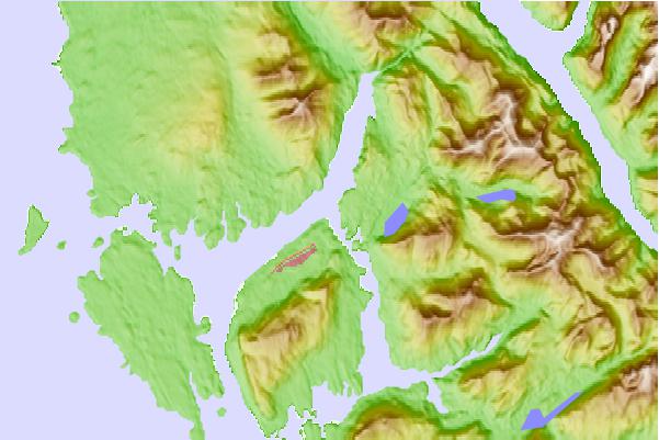
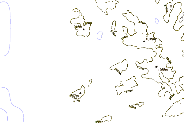
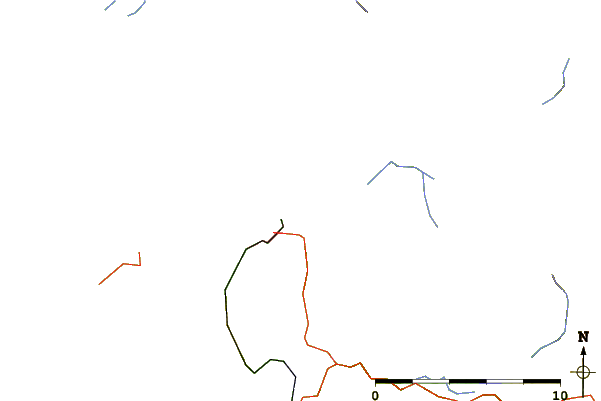
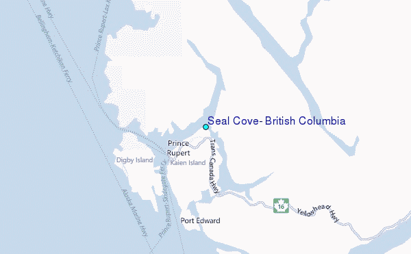
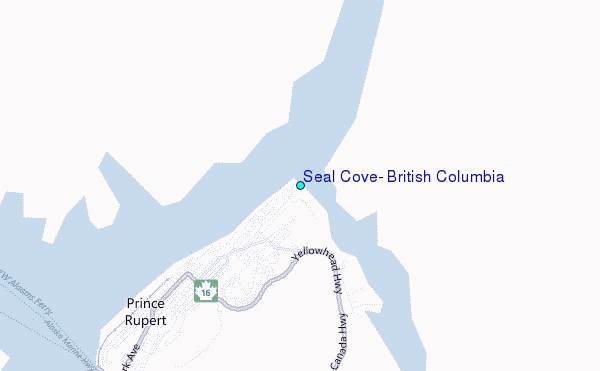
Use this relief map to navigate to tide stations, surf breaks and cities that are in the area of Seal Cove, British Columbia.
Other Nearby Locations' tide tables and tide charts to Seal Cove, British Columbia:
click location name for more details
 Surf breaks close to Seal Cove, British Columbia:
|
||
|---|---|---|
| Closest surf break | Tow Hill Beach | 63 mi |
| Second closest surf break | Lepus Beach (Haida-Gwaii) | 112 mi |
| Third closest surf break | Nootka Island (Calvin Bay) | 355 mi |
| Fourth closest surf break | Tofino (North Chestermans Beach) | 406 mi |
| Fifth closest surf break | South Chesterman Beach | 407 mi |

 Nearest
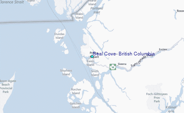